
SLIDE 1
NR406
GIS Applications in Fire Ecology & Management Lesson 8 Landfire: Concepts and Data
Notes:
NR406: GIS Applications in Fire Ecology and Management
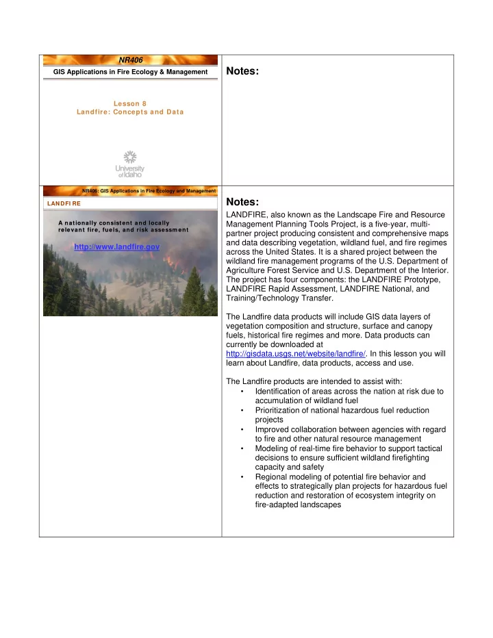
LANDFI RE LANDFI RE
http://www.landfire.gov
A nationally consistent and locally relevant fire, fuels, and risk assessm ent A nationally consistent and locally relevant fire, fuels, and risk assessm ent
Notes:
LANDFIRE, also known as the Landscape Fire and Resource Management Planning Tools Project, is a five-year, multi- partner project producing consistent and comprehensive maps and data describing vegetation, wildland fuel, and fire regimes across the United States. It is a shared project between the wildland fire management programs of the U.S. Department of Agriculture Forest Service and U.S. Department of the Interior. The project has four components: the LANDFIRE Prototype, LANDFIRE Rapid Assessment, LANDFIRE National, and Training/Technology Transfer. The Landfire data products will include GIS data layers of vegetation composition and structure, surface and canopy fuels, historical fire regimes and more. Data products can currently be downloaded at http://gisdata.usgs.net/website/landfire/. In this lesson you will learn about Landfire, data products, access and use. The Landfire products are intended to assist with:
- Identification of areas across the nation at risk due to
accumulation of wildland fuel
- Prioritization of national hazardous fuel reduction
projects
- Improved collaboration between agencies with regard
to fire and other natural resource management
- Modeling of real-time fire behavior to support tactical
decisions to ensure sufficient wildland firefighting capacity and safety
- Regional modeling of potential fire behavior and