
SLIDE 1
What is the African Risk Capacity (ARC)?
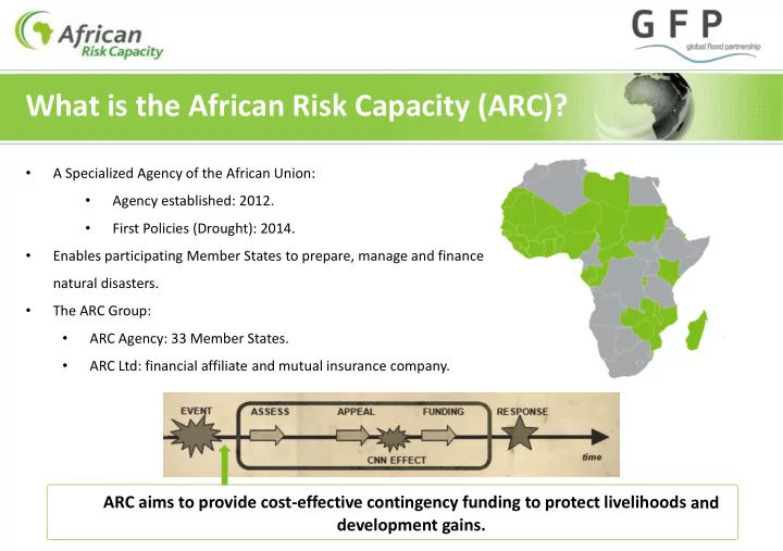
- A Specialized Agency of the African Union:
- Agency established: 2012.
- First Policies (Drought): 2014.
- Enables participating Member States to prepare, manage and finance
natural disasters.
- The ARC Group:
- ARC Agency: 33 Member States.
- ARC Ltd: financial affiliate and mutual insurance company.