
SLIDE 1
WELCOME
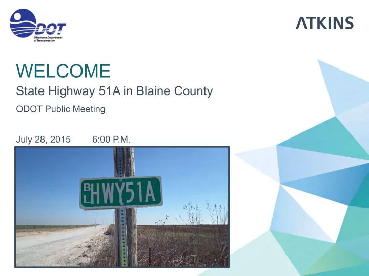
State Highway 51A in Blaine County
ODOT Public Meeting July 28, 2015 6:00 P.M.
WELCOME State Highway 51A in Blaine County ODOT Public Meeting - - PowerPoint PPT Presentation
WELCOME State Highway 51A in Blaine County ODOT Public Meeting July 28, 2015 6:00 P.M. TEAM INTRODUCTIONS ATKINS Daniel Humphrey Design Consultant CC Geoff Canty Environmental Consultant ENVIRONMENTAL Brent Almquist
ODOT Public Meeting July 28, 2015 6:00 P.M.
ATKINS
CC ENVIRONMENTAL
Division Engineer
ODOT
2
3
4
5
6
Total Accidents)
around the curves
7
Significantly Higher than the State Average for Accidents on Rural State Highways
8
9
10
11
12
Considered Three New Alignment Alternatives and an “Improve Existing” Alternative
13
14
$5.46M
Speed
SH-51A Alignment
new Right-of-Way (Smallest amount)
Curves
Oilfield Location
Residential Relocations
Wetland Impact
15
16
Way
Crossings
Impacts
Residential Relocations
Wetland Impact
$5.94M
Speed
Way
Crossings
Residential Relocations
17
$5.96M
Speed
Way
Crossings (Fewest number)
Residential Relocations
Wetland Impact
18
$8.31M
Addition of Roadway
& Utility Cost
Impacts
new Right-of-Way
Well Site
Residential Relocation
19
20
Residential Property
21
22
Oklahoma Department of Transportation Environmental Programs Division 200 NE 21st Street Oklahoma City, OK 73105 Fax No. (405) 522-5193
environment@odot.org