
SLIDE 1
Southern Mountain Loop
Highway 12 Planning and Environmental Linkages (PEL) Study
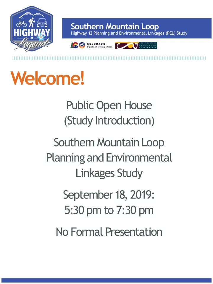
Welcome! Public Open House (Study Introduction) Southern Mountain - - PDF document
Southern Mountain Loop Highway 12 Planning and Environmental Linkages (PEL) Study Welcome! Public Open House (Study Introduction) Southern Mountain Loop Planning and Environmental Linkages Study September 18, 2019: 5:30 pm to 7:30 pm No
Southern Mountain Loop
Highway 12 Planning and Environmental Linkages (PEL) Study
Southern Mountain Loop
Highway 12 Planning and Environmental Linkages (PEL) Study
PURPOSE OF PROJECT
The purpose of the project is to improve safety, provide a regional and local multi-use trail, and improve connections and access to recreational facilities and communities along the Colorado Scenic Highway of Legends Byway (US 160 and SH 12) between Walsenburg and Trinidad.
LATHROP STATE PARK TRINIDAD STATE PARK NORTH LAKE
LAS ANIMAS
HUERFANO
160
INTERSTATE25
12 238
INTERSTATE25
239
TRINIDAD
LYNN WESTON JANSEN
LA VETA
AGUILAR COKEDALE
WALSENBURG
STARKVILLE SEGUNDO VALDEZ STONEWALL GAP
CUCHARA West
Spanish Peak East Spanish Peak Culebra Peak Trinchera Peak Napolean Peak
Legend
Railroads SHOL Byway Highway County Boundaries State Parks/Lands BLM National Wilderness Area U.S. Forest Service City Boundaries Study Area
NORTH 2.5 5 10 MILES Southern Mountain Loop
Highway 12 Planning and Environmental Linkages (PEL) Study
n Planning-level study for
transportation issues and environmental concerns along a corridor .
n Decision-making tool for
“projects” .
n Enables CDOT and local agencies
to advance projects into next steps based on priorities and funding. Note: Next steps would include funding, NEPA (National Environmental Policy Act) Studies, public meetings, design, and permitting, before construction
Kinds of Decisions in Study
n Scope and limits of projects n Environmental setting and issues n Plan for implementation
Types of Analyses within Study
n Travel characteristics and demand n Economic development and land use n Natural and manmade environment n Agency and public involvement
Southern Mountain Loop
Highway 12 Planning and Environmental Linkages (PEL) Study
Agency/Public Information
n Study Intro – June/July 2019 n Existing Issues – Aug/Sept 2019 n Alternatives – Dec/Jan 2020 n Recommendations – April/May 2020 n Implementation Plan/Report – July 2020
HOW TO ST AY INFORMED
n Stakeholder Meetings n Coffee Chats n Public Open Houses n Project Website n eNewsletters n Social Media n Press Releases n Presentations
FEB FEB MAR MAR APR APR MAY MAY JUN JUN JUL JUL AUG SEP OCT NOV DEC JAN
PUBLIC INVOLVEMENT MANAGEMENT AND COORDINATION PEL REPORT ALTERNATIVES ANALYSIS EXISTING CONDITIONS REPORT ASSESMENT
2019
SOUTHERN MOUNTAIN LOOP PEL STUDY
Study Schedule V.1 / June 2019
TASK DESCRIPTION
2020
5.0 4.0 3.0 2.0 1.0 5.A 5.B 5.C 5.D 5.E 5.F 5.G STEERING COMMITTEE MEETINGS GENERAL PUBLIC OPEN HOUSES TECHNICAL COMMITTEE MEETINGS STAKEHOLDER COMMITTEE MEETINGS LANDOWNER WORKSHOPS/MEETINGS OFFICIAL BRIEFINGS GENERAL COMMUNICATIONS
(MEDIA/WEBSITE/NEWSLETTERS)
YOU ARE HERE
LAS ANIMAS
HUERFANO
160 INTERSTATE 25 INTERSTATE 25 TRINIDAD LYNN WESTON JANSEN LA VETA AGUILAR WALSENBURG STARKVILLE SEGUNDO VALDEZ STONEWALL CUCHARA COKEDALELegend
SHOL Byway Highway City Boundaries 0-2’ Paved Shoulder 3-5’ Paved Shoulder 6-8’ Paved Shoulder 9-10’ Paved Shoulder Mile PostMP
10 NORTH 2.5 5 MILES C W S VALDEZ EMP 0 MP 5 MP 10 MP 15 MP 20 MP 25 MP 30 MP 35 MP 40 MP 45 MP 50 MP 55 MP 60 MP 65 MP 70
12MP 280 MP 285 MP 290 MP 295 MP 300 MP 305
Southern Mountain Loop
Highway 12 Planning and Environmental Linkages (PEL) Study
Roadway Section
The corridor has highly variable shoulder widths ranging from 0-feet to 10-feet
Traffjc Volumes
Current and projected traffjc volumes do not exceed roadway capacities.
*Does not include possible future truck traffjc from New Elk Mine.
Crash History
Based on historical records from January 2013 through December 2017
WEIGHTED CRASH RATE US 160 WEIGHTED CRASH RATE US 160 Southern Mountain Loop
Highway 12 Planning and Environmental Linkages (PEL) Study
COLORADO FRONT RANGE TRAIL Planned trail by Colorado Parks & Wildlife along Front Range from Wyoming to New Mexico. CONNECTIONS AND ACCESS
n Local communities and resorts n State Parks (Lathrop and Trinidad Lake) n Trailheads and Trails n State Wildlife Areas
n San Isabel National Forest n Spanish Peaks National Wilderness Area
LEVEL OF TRAFFIC STRESS FOR BICYCLISTS Traffjc volumes, number of lanes, pavement markings, shoulder widths, and posted speed limits affect stress levels for bicyclists.
Southern Mountain Loop
Highway 12 Planning and Environmental Linkages (PEL) Study
SCENIC HIGHWAY OF LEGENDS BYWAY One of the fjrst highways designated (1989) as a Colorado Scenic and Historic Byway. IMPACT OF TOURISM IN COLORADO Tourism is a signifjcant contributor to the state’s economy. BYWAY INTERPRETIVE SITES The byway includes a number of existing and planned pull-offs with interpretive signs for tourists to enjoy the surrounding scenery and learn about the area’s rich history.
T
Southern Mountain Loop
Highway 12 Planning and Environmental Linkages (PEL) Study
n Archaeology n Environmental Justice n Farmlands n Floodplains n Geologic Resources
and Soils
n Hazardous/Solid Wastes n Historic Resources n Land Use and Ecoregions n Noise n Public Lands and
Recreation Resources
n Socioeconomics n Threatened and
Endangered Species, Other Special-Status Species, and Wildlife
n Visual Resources n Wetlands and Other
Waters of the US
Southern Mountain Loop
Highway 12 Planning and Environmental Linkages (PEL) Study
Public Open House Southern Mountain Loop Planning and Environmental Linkages Study September 18, 2019: 5:30 pm to 7:30 pm
Comments may be provided:
n Comment form n Email — SouthernMountainLoop@gmail.com
Stay Connected:
n https:/
/ www.codot.gov/library/studies/ co-12-sml-pel
n https:/
/ www.colorado.gov/pacifjc/sccog Click on Development link to access additional information
about the SML PEL Study .
Questions?
n Call: 719-427-1078 n Email: SouthernMountainLoop@gmail.com