
SLIDE 1
Wednesday, September 2 nd , 2015 huimanu Elementary School Ed - - PowerPoint PPT Presentation
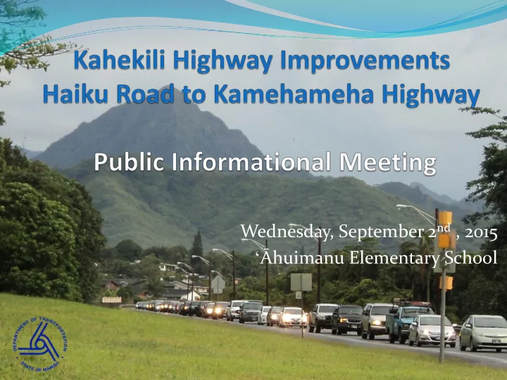
Wednesday, September 2 nd , 2015 huimanu Elementary School Ed Sniffen, Highways Deputy Director Raymond J. McCormick, Highways Administrator State of Hawaii Department of Transportation Purpose of Tonights Meeting Inform the
Inform the community that the State has completed the re-
Summarize the results of the EIS re-evaluation and the
Provide information on Alternatives Explain next steps
3
Kahekili Highway from Haiku
Road to Kamehameha Highway in Kahaluu
4
Built in 1966 by the City & County of Honolulu Although constructed as a two lane roadway, a 120 foot
Planned improvements included in each of the OahuMPO
6
In 1990 an Environmental Impact Statement was completed
studying alternate improvements to Kahekili Highway and a Record of Decision (ROD) was issued by FHWA.
The primary purpose for the project was: to relieve existing and
projected traffic congestion, and improve traffic operations and safety
At that time, H-3 was being built, but had not been completed
7
Grade-separated Interchange at Likelike intersection Castle Hills Connector Road to Keeahala Road Widen Kahekili between Likelike and Kamehameha Highway in segments Elements would be constructed as funds became available in a sequence to
“best facilitate traffic” and in a manner consistent with the Koolaupoko Development Plan
8
The Castle Hills connector road to
Keaahala Road was constructed as an extension to Pookela Street; the on-ramp to Kahekili Highway from the Castle Hills Subdivision was eliminated.
The intersection of Kahekili at Likelike Highway was constructed at-
grade, with signals.
The road widening of six lanes as far as Kahuhipa was constructed. The road widening to five lanes as far as Haiku Road was constructed.
9
Noise – mitigated by noise walls and barriers Floodplain – mitigated through design: ʻĀhuimanu Floodway (FEMA
project)
Water Quality – mitigated through design and adherence to permit
conditions
Erosion Control – mitigated through proper grading, slope rounding,
contouring and berms
Construction impacts – mitigated through Best Management Practices Social and Economic Effects – beneficial impact from reduction of
traffic congestion
10
A re-evaluation of an EIS is required under 23 CFR 771.129
Re-evaluation of an EIS by state agency required under
The re-evaluation of the 1990 FEIS was completed in 2013
11
12
Project designs proposed for future improvements are not
The physical, natural, and social environment has
The partial construction of highway improvements proposed in the
1990 Final EIS
Completion of the H-3 Highway New legislative and regulatory requirements since 1990
13
The Intermodal Surface Transportation Efficiency Act of 1991 (ISTEA)
The Transportation Equity Act for the 21st Century of 1998 (TEA-21)
The Safe, Accountable Flexible, Efficient Transportation Equity Act: A Legacy for Users (SAFETEA-LU) of 2005
Moving Ahead for Progress in the 21st Century (MAP-21) of 2012
Americans with Disabilities Act of 1990
Executive Order 12998, “Federal Actions to Address Environmental Justice in Minority Populations and Low-Income Populations” (1994)
Executive Order 13112, “Invasive Species” (1999)
Executive Order 13148, ‘‘Greening of Government Through Leadership in Environmental Management” (2000).
Executive Order 13166, “Improving Access to Services for Persons with Limited English Proficiency” (2000).
Executive Order 13274, “Environmental Stewardship and Transportation Infrastructure Reviews (2002)
Executive Order 13287, “Preserve America” (2003)
Clean Air Act Amendments of 1990
Other Environmental Protection Agency (EPA) changes to the Clean Air Act
Changes in National Ambient Air Quality Standards since 2000 (40 CFR 50), under continuing review by US EPA
Transportation Conformity Guidance from 2006 (71 FR 12468)
Mobile Source Air Toxics (66 FR 17235) and FHWA interim guidance (December 2012) on evaluating Mobile Source Air Toxics
Section 404 of the Clean Water Act (U.S. Army Corps of Engineers)
Section 7 of the Endangered Species Act (US Fish and Wildlife Service and National Marine Fisheries Service)
Changes to FHWA policy (2005) on timing and information requirements for implementing agency consultation under Section 7(a)(2)
Changes to FHWA rules on Implementation of Section 4(f) (23 CFR 774)
Native American Graves Protection and Repatriation Act of 1990
Pollution Prevention Act of 1990, 42 U.S.C. 13101–13109
Magnuson-Stevens Fishery Conservation and Management Reauthorization Act (2006)
Federal Facilities Compliance Act of 1992 (FFCA)
14
Act 50 (2000) which seeks to “promote and protect cultural beliefs, practices, and resources of native Hawaiians and other ethnic groups
Act 183 (2005), relating to the protection of important agricultural lands
Act 294 (2006), which called for HRS Chapter 343 process to consider Environmental Justice in the context of Hawai‘i’s unique ethnic composition
13 HAR 275 (2002), Rules Governing Procedures for Historic Preservation Review
HRS Chapter 128, Hawai‘i Environmental Response Law (2009)
HDOT Noise Abatement Policies (2011)
15
16
Stakeholder Interviews Dedicated Project Website Mail Survey t0 4,750 Area Households Kahekili Community Workshop Kahekili Community Charettes
17
Transportation Systems Management (TSM)
Options
Contra-flow system in AM and/or PM to enable a
three-lane-wide corridor for all or a portion of the corridor
Widen all or a portion of the corridor to a four-lane
divided roadway between Ha‘ikū Road and Kamehameha Highway
18
Developed with Community and Stakeholder Input:
Addition of TSM measures in the corridor (transit improvements,
High-Occupancy Vehicle provisions, Park and Ride facilities, travel demand reduction strategies, etc.)*
Provide pedestrian and/or bicycle facilities in various sections between
Ha’ikū Road and Kamehameha Highway*
Signal improvements at intersections, particularly Hui Iwa Street (East)
and Hui Iwa Street (West)
Improvements to intersections at Hui Iwa, ʻĀhuimanu Road and
ʻĀhuimanu Place without full widening of the entire roadway corridor
19 * Can be used in combination with other alternatives.
Shared shoulder for a designated bike route ( Example A) Striped bike lane; both directions Shared shoulder for designated bike route with separated pedestrian
path
Shared multi-use path; one side or both (Example B)
20
A B
21
66% 57% 50% 44% 42% 25% 23% 27% 34% 31% 9% 20% 23% 22% 27% 0% 20% 40% 60% 80% 100%
Bus Service Improvements Shared Bike/Pedestrian Path: Hui Iwa to Ahuimanu Pl. New Park & Ride Facility Stronger Ridesharing Program Bike-Only Path: Hui Iwa to Ahuimanu Pl. Support Neutral Oppose
Shortest Length - Haiku Road to Hui Iwa Street West (1) Middle Length - Haiku Road to ʻĀhuimanu Road (2) Longest Length - Haiku Road to Kamehameha Highway (3)
22
PM
Two Lanes North
Kamehameha Highway Haiku Road
1 2 3
AM
Two Lanes South
23
58% 43% 30% 15% 25% 27% 27% 32% 43% 0% 20% 40% 60% 80% 100%
Longest Length - Haiku Rd. to Kamehameha Hwy Middle Length - Haiku Rd. to Ahuimanu Shortest Length - Haiku Rd. to Hui Iwa
Support Neutral Oppose
24
Present Day
Looking south towards Hui Iwa Street
Widening to 4 Lanes
Shared use path on mauka side*
*All widening alternatives can include a shared use path
Kamehameha Highway Haiku Road
1 2 3
25
61% 45% 34% 12% 23% 24% 27% 32% 42% 0% 20% 40% 60% 80% 100%
Longest Length - Haiku Rd. to Kamehameha Hwy Middle Length - Haiku Rd. to Ahuimanu Shortest Length - Haiku Rd. to Hui Iwa Support Neutral Oppose
Safety and mobility were cited as reasons to widen Kahekili Highway. Widening of Kahekili Highway is supported by a majority (61%) of the
survey respondents - if the highway is widened from Haiku Road to Kamehameha Highway. At the same time, the longest widening option was
Many of the Community Meeting attendees stated that the longest
widening option would be most likely to improve traffic flow and should be the preferred option.
Many residents are of the opinion that the traffic is unacceptable, and
HDOT should spend their time and money on full widening rather than looking at other options such as contraflow or Transportation Systems Management (TSM).
26
28
SSFM International
Traffic and Transportation Socioeconomic Environment Laws and Regulations
CENSEO AV+
Noise Impact Analysis
Cultural Surveys Hawaii
Archeological and Cultural Resources
SWCA
Threatened and Endangered Species Streams and Wetlands Water Quality Air Quality
29
September 2, 2015 - Public Informational Meeting -ʻĀhuimanu Elementary
School in Kaneohe
October 2015 – National Historic Preservation Act, Section 106 Consultation
Meeting
November/December 2015 - Draft Environmental Assessment Available for
Public Comment
February/March 2016 - Final Environmental Assessment/Finding of No
Significant Impact (FONSI)
30
31
Brian Tyau Hawaii Department of Transportation Highways Planning Branch Project Manager 869 Punchbowl Street, Room 301 Honolulu, HI 96813 brian.tyau@hawaii.gov (808) 587-6390
32
33