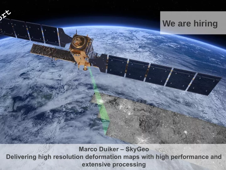
SLIDE 1 Marco Duiker – SkyGeo Delivering high resolution deformation maps with high performance and extensive processing
We are hiring
SLIDE 2
The InSAR concept
Acquisition 1 Acquisition 2
SLIDE 3
The InSAR concept
Acquisition 1 Acquisition 2
Centimeters Phase difference
SLIDE 4 Resulting data properties
- Movements measured with mm precision
- Measurement interval 4-35 days
- Data available from 1992
- Needs hard consistently reflecting surfaces
- Measurements are relative (in space and time)
- Pixel size from 3x3m to 7x26m
- Positional accuracy (X,Y,Z) of reflector 1-2m
- Measurement in direction of satellite
SLIDE 5
SLIDE 6
Injection monitoring
SLIDE 7
Gas pipeline monitoring
SLIDE 8
Municipality maintenance planning
SLIDE 9 The customer portal Travel Guide
- We deliver
- Mapping services: WMS(-C)
- Data services: WFS
- Processing services: WPS
- Data: csv-files
- We provide viewers with the
- Data
- Meaningful tools
- How do the OGC standards keep up with our needs?
SLIDE 10
Interesting features Explore data by fjltering Travel Guide
SLIDE 11 Hidden Gem: WMS-dimensions Trip Report
- WMS-dimensions: not only for time or elevation
- Is advertised in the Capabilities document
- Provides a way for subselecting data in the GetMap request
- (not restricted to the attribute which is used for classification)
- Eg: &DIM_PNT_QUALITY=0.76/1
- Gives all features with 0.76 <= pnt_quality <= 1
SLIDE 12
Interesting features Explore data by time slider Travel Guide
SLIDE 13 Time slider Trip Report
- Simpl subtraction of cumulative deformation on two dates
- Easily done with runtime substitution
- WMS-support:
- Vendor Specific Parameters
- Just add the start date and the end date to the request
SLIDE 14 Interesting features: multiple styles Trip Report
- Customer needs that to gain good insight in the data
- WMS-standard allows for defining multiple styles on a layer
- Different styles to:
- Stretch the colors over the values
- Select a point size
- Proves to be cumbersome:
- Lots of styles → very long mapfile, slower performance
- Not very user friendly
- Alternative
- Setting point size and stretching via sliders
- WMS support: vendor specific parameters
- Cumbersome to do in Mapserver
- (requires rewriting the mapfile or using mapscript)
SLIDE 15
Interesting features Multiple styles alternative Travel Guide
SLIDE 16
Interesting features Explore data by query (spatial or attribute) Travel Guide
SLIDE 17 Querying & downloading data Trip Report
- WFS-services provide quite a few ways to select and download
data
- Nice to do queries & display results on map
- Slow in mapserver 6, much better in mapserver 7
- Still slow on large datasets (compared to a database query)
- Have a download file (csv) of the entire dataset handy
SLIDE 18
Interesting features data processing Travel Guide
SLIDE 19 Processing data Trip Report
- WPS standard provides:
- A way to send a request for processing
- (send in data/ service url as well!)
- A way to send the response when done
- PyWPS provides an implementation for the WPS-standard
- The processing:
- (Grass plugin for generic geo-spatial processing)
- Program in Python
- Not confined to the data served via WMS/WFS
- Queuing & killing tasks: write yourself (or use pyWPS 4.0)!
- Difficult (impossible?) to get fully functional without Apache &
cgi
- Relatively easy to extend and/ or hack
- No proper support for sub-domain specific access
- (submitted a pull request which has lots of issues!)
SLIDE 20 Architecture: the requirements
- “Normal” mapping functionality + more unusual ones
- Fast (while doing 'live rendering')
- Reliable (24/7/365 & fool proof)
- Secure
- Scaleable
- Flexible with short time to market for new features
- maps data and analysis
- viewer and services (standards compliant !)
SLIDE 21
KISS-proof Architecture Trip Report
SLIDE 22
KISS-proof Architecture Trip Report
Almost Everything is file based & tied to viewer context Customers & viewer contexts
SLIDE 23 Deployment Trip Report
- Every application is in its own Docker container
- Providing its own execution environment
- Every application can be upgraded independently
- Multiple versions of same application
- Containers are managed (orchestrated)
- Docker-compose
- New servers are deployed by Fabric
- A python script sending all necessary commands over ssh
SLIDE 24 Conclusions Trip Report
- OGC-standards come a long way in providing the necessary
standards for a rich web application
- Live rendering (assisted by some smart caching) comes a long
way in giving a high-performance experience
- Docker really helps in keeping things manageable and
upgradeable