
SLIDE 1
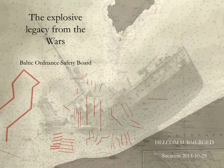
The explosive legacy from the Wars
Baltic Ordnance Safety Board
HELCOM SUBMERGED Szczecin 2014-10-29
Wars Baltic Ordnance Safety Board HELCOM SUBMERGED Szczecin - - PowerPoint PPT Presentation
The explosive legacy from the Wars Baltic Ordnance Safety Board HELCOM SUBMERGED Szczecin 2014-10-29 575 308 179 730 1914-1945 180 000 mines laid in 2200 minefields 1848-1945 Mine disposal 1914-1920 The accuracy of the positions are
Baltic Ordnance Safety Board
HELCOM SUBMERGED Szczecin 2014-10-29
1914-1945 179 730 575 308
180 000 mines laid in 2200 minefields 1848-1945
Mine disposal 1914-1920
The accuracy of the positions are dependent on two factors: “The navigational factor” & “The source factor”
The positions of the minefield can't be more precise than the accuracy of the navigation when the mines were laid
“The navigational factor”
´19.33 22.58 21.00
Time after the last positioning Manoeuvres Wind & Sea Threat
24 May 1915 “The navigational factor”
“The source factor”
Angiven position
Navigation factor (N)
Source factor (S)
Mine Danger Area
How many remains?
SWEDEN, GERMANY, DENMARK, POLAND, LITHUANIA, LATVIA, ESTONIA & FINLAND
Cleared areas 1995-2011
(1-7p)
– Shipping
(1-7p)
– Anchorage Areas
(Full p)
– Fishery
(1-3p)
– UW-installations
(Not implemented)
(1-7p)
(1-5p)
(1-7p)
(-1- -7p or -29p)
(Yes/No)
Shipping
7 p 6 p 4 p 3 p 1 p
Fishery
3 p 2 p 1 p
Depth
6 p 5 p 4 p 3 p 2 p 7 p
Intelligence
5 p 4 p 3 p 2 p 1 p
Mine density
5 p 4 p 3 p 2 p 1 p 6 p 7 p
Shipping
Fishery Anchorage Areas Depth Intelligence Mine density Clearance
Total
Priority
1999-2007 0,55 mines/unit/day 2008-2012 1,05 mines/unit/day 1999-2007 0,31 mines/unit/day 2008-2011 0,75 mines/unit/day Mines found due to surgical
pre BOSB Mines found in areas not known to be mined pre BOSB
The efficiency of BOSB supported operations
If we shall be successful:
compiled picture. One nation should be responsible for the master database
know
data
compiled picture and prioritized areas.