
SLIDE 1
Department of Transportation
Seattle Pedestrian and Bicycle Advisory Boards Joint Meeting Sam Zimbabwe, Jim Curtin, and Bradley Topol 01/08/2020
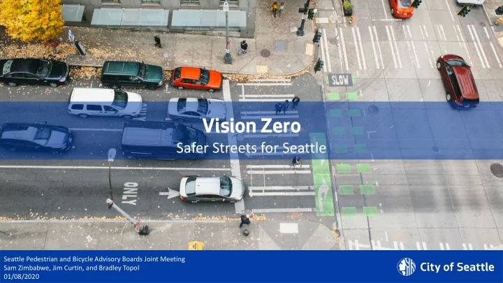
Vision Zero Safer Streets for Seattle Seattle Pedestrian and - - PowerPoint PPT Presentation
Vision Zero Safer Streets for Seattle Seattle Pedestrian and Bicycle Advisory Boards Joint Meeting Department of Transportation Sam Zimbabwe, Jim Curtin, and Bradley Topol 01/08/2020 Historic Data Trends (1936 2019) Department of
Department of Transportation
Seattle Pedestrian and Bicycle Advisory Boards Joint Meeting Sam Zimbabwe, Jim Curtin, and Bradley Topol 01/08/2020
Department of Transportation
Department of Transportation
5 10 15 20 25 30 2010 2011 2012 2013 2014 2015 2016 2017 2018 2019
Traffic Fatalities on Seattle Streets
(as of 1/2/2020)
Total Fatalities Motorcycle Fatalities Cyclist Pedestrian Fatalities Linear (Total Fatalities)
Department of Transportation
2382 All Ped Crashes 1714 668 Intersection Midblock 1115 Signal 599 Non-Signal Arterials Residential 535 318 262 199 316 84 Left Turn Straight Right Turn Left Turn Straight Right Turn 13% 20% 4% 5% 16% 1% 36% 6% 521 147 ALL PED 22% 13% 11% 8% 13% 4% 22% 6% SERIOUS INJURY AND FATAL 312 129 183 111 18 40 61 11 17 50 4 SI/FATAL ALL PED 71 112
Department of Transportation
Department of Transportation
Department of Transportation
Department of Transportation
Department of Transportation
(40% of citywide signal network)
2016 speed limit changes
Traffic signals were re-timed to reduce posted speed limit to 25 MPH
Department of Transportation
200 400 600 800 1000 1200 1400 1600 2011 2012 2013 2014 2015 2016 2017 2018
# of crashes
Center City before/after
Total crashes Fatal, serious injury, and injury crashes
signal retiming
crashes
serious injury, injury crashes
Department of Transportation
Department of Transportation
Department of Transportation
N 65th St to N 90th St (1.3 miles)
Department of Transportation
18th Ave NW to Fremont Ave N (1.4 miles)
Department of Transportation
Multiple Arterial Streets (6.2 miles)
Department of Transportation
Department of Transportation
Department of Transportation
Potential Task Force Members
SDOT, SPD, and SFD Mayor’s Office Public Health – Seattle & King County City Attorney WSDOT Washington State Patrol King County Metro King County Medical Examiner Sound Transit Modal Advisory Board Representatives University of Washington Harborview Injury Prevention and Research Center
Department of Transportation
are turns on red (2 of 269)
Department of Transportation
Department of Transportation
Department of Transportation
9
Department of Transportation