Use of U Unm nmanne nned A Aircraft i in t n the he BLM - - PowerPoint PPT Presentation

use of u unm nmanne nned a aircraft i in t n the he blm
SMART_READER_LITE
LIVE PREVIEW

Use of U Unm nmanne nned A Aircraft i in t n the he BLM - - PowerPoint PPT Presentation

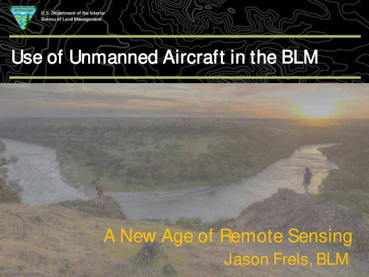
Use of U Unm nmanne nned A Aircraft i in t n the he BLM Supporting Text A New Age of Remote Sensing Jason Frels, BLM Drones es a are c e coming! There is nothing unmanned about an unmanned system! Pilots are still required


slide-1
SLIDE 1

Use of U Unm nmanne nned A Aircraft i in t n the he BLM

Supporting Text

Jason Frels, BLM

A New Age of Remote Sensing

slide-2
SLIDE 2

Drones es a are c e coming!

2

  • There is nothing unmanned about an unmanned system!
  • Pilots are still required
  • What are they called?
  • Unmanned Aircraft Systems (UAS)
  • FAA and OAS
  • Unmanned Aerial Vehicle (UAV)
  • Drones
  • Remotely Piloted Aircraft System (RPAS)
  • ICAO and Air Force
slide-3
SLIDE 3

BLM’s ’s C Current UAS AS

3

slide-4
SLIDE 4

Traini ning ng

  • Part 107 Certification (FAA) – Pre-work
  • Basic Operator Course (DOI/BLM) – Week 1
  • Advanced UAS Workshop (BLM) – Week 2
  • Data Processing – Week 3+
  • Full Motion Video / Photogrammetric Processing *
  • Field Data Technician ?
  • Proficiency (3 Months); Retraining (2 years)

4

slide-5
SLIDE 5

Gen ener eral Categ egories es of UA UAS Pr Projects/Pr Products

  • Situational Awareness Video
  • Spatially-enabled Video
  • Orthoimagery 2D (High/Low

Precision)

  • Precision mapping 3D

Other types:

  • LIDAR
  • Hyperspectral
  • Thermal
  • Geophysical, air monitoring

5

slide-6
SLIDE 6

Sandhill C ill Crane Popul ulation C n Count unt

Benefits

  • Aviation safety concerns were mitigated
  • Refuge obtained a more accurate bird

count

  • Birds were not disturbed by the flight
  • perations

Method Costs Fixed Wing Survey (Ocular Survey) $4,310 Fixed Wing Survey (Remote Sensing - Contractor) $35,000 UAV Survey (Remote Sensing)

$2,645

6

slide-7
SLIDE 7

Sage G Grou

  • use P

Pop

  • pulation
  • n

Esti timate te

North Park, Colorado

7

slide-8
SLIDE 8

Elk lk Popula latio ion E Estim imates

North Park, Colorado

8

slide-9
SLIDE 9

9

Mam ammoth T Trac ackway ay

Photogrammetric documentation using a UAS to aerial survey extremely fragile fossilized footprints from the late ice age.

Ple leis istocene T Trackway Ma Mappin ing

White Sands nds Nationa nal M Monu nument nt

9

slide-10
SLIDE 10

Dog

  • gtow
  • wn Min

Mine S Sit ite

Tucson Field Office, Arizona September 2013

  • BLM CE

CERCL CLA authority

  • 30 a

acre site te c conta taminate ted with th heavy m metals ls in inclu ludin ing; le lead, arseni nic, a ant ntimony ny a and nd mercur ury

  • Volu

lumetric ic c calc lcula latio ion

  • Estimate =

= 6, 6,456 c 456 cubic yards

  • Phot
  • tog
  • grammetry = 5,

5,678 678 cubic yar ards 10

slide-11
SLIDE 11

Grav avel P Pit Trespas ass

  • Estimate volume of material removed off

BLM Land.

  • Pre-Litigation phase to see if it is worth

pursuing

  • Approximately $93,000 mineral royalty

being sought

1957 2009

11

slide-12
SLIDE 12

12

Physical al Saf afety I Inventory

  • BLM office in Elko, NV requested assistance

to validate 61 features presenting potential safety hazards

–AML features were located on steep/unstable slopes that would require significant safety gear, rappelling, etc.

  • Pilots mobilized within a few weeks (based
  • n their availability)

12

slide-13
SLIDE 13

13

13

slide-14
SLIDE 14

14

New Feature Identified

14

slide-15
SLIDE 15

15

15

slide-16
SLIDE 16

16

16

slide-17
SLIDE 17

17

Physical al Saf afety I Inventory

  • 61 physical safety features assessed

–Eliminated 28 from further evaluation

  • Shadows presented difficulties in elimination

–Could not determine whether they were hazardous –However, imagery provided an idea of what to expect

  • Identified several other features in the vicinity that

were not in known inventory

17

slide-18
SLIDE 18

18

7,500+ Unmanned Aerial Systems with FAA Section 333 Exemptions for Commercial Work

FAA Part 107 - New Rules for Commercial Operators – August 2016

The W e Work Can B Be e Contracted ed

18

slide-19
SLIDE 19

Con

  • ntact I

Infor

  • rmation
  • n

Supporting Text

Matthew Bobo Geospatial Section Chief (303) 236-0721 mbobo@blm.gov Christopher Cole Remote Sensing Lead (303) 236-0913 cjcole@blm.gov Brian Hadley Senior Photogrammetrist (303) 236-4091 bchadley@blm.gov Jason Frels Resource Programs Data (303) 236-6535 jfrels@blm.gov Coordinator 19