
SLIDE 1
10/6/2016 1
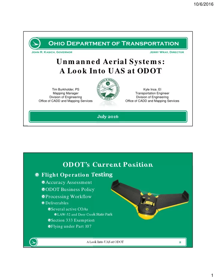
Ohio Department of Transportation
John R. Kasich, Governor Jerry Wray, Director
Unm anned Aerial System s: A Look Into UAS at ODOT
July 20 16
Tim Burkholder, PS Mapping Manager Division of Engineering Office of CADD and Mapping Services Kyle Ince, EI Transportation Engineer Division of Engineering Office of CADD and Mapping Services 2
ODOT’s Current Position
A Look Into UAS at ODOT
Flight Operation Testing
Accuracy Assessment ODOT Business Policy Processing Workflow
Deliverables Several active COAs
LAW-52 and Deer Creek State Park