
SLIDE 1
Tucannon/Pataha Watershed Tucannon/Pataha Watershed TMDL TMDL
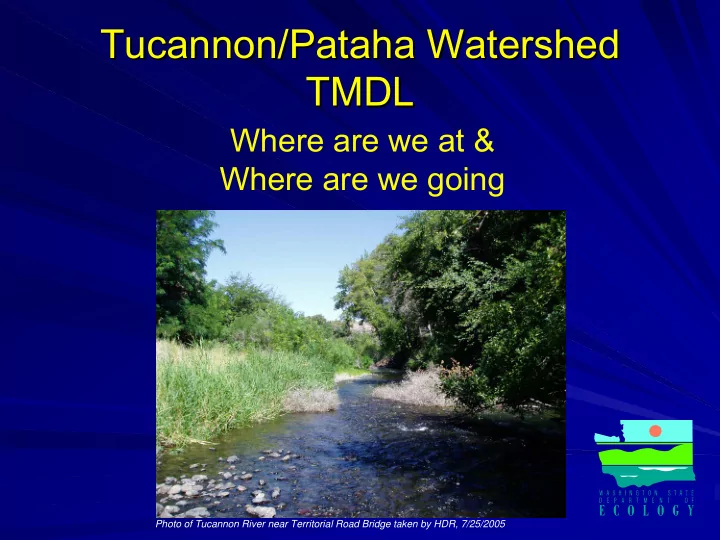
Where are we at & Where are we going
Photo of Tucannon River near Territorial Road Bridge taken by HDR, 7/25/2005
Tucannon/Pataha Watershed Tucannon/Pataha Watershed TMDL TMDL - - PowerPoint PPT Presentation
Tucannon/Pataha Watershed Tucannon/Pataha Watershed TMDL TMDL Where are we at & Where are we going Photo of Tucannon River near Territorial Road Bridge taken by HDR, 7/25/2005 WHY DO TMDL S? S? WHY DO TMDL Its the law
Photo of Tucannon River near Territorial Road Bridge taken by HDR, 7/25/2005
Water Quality Standard Pollution Reduction Required Total Pollutant
Point Point-
source Non Non-
point source source
Comparison of Daily Maximum (DMax) Stream Temperatures for Tucannon River and Tributaries
5 10 15 20 25 30 10 20 30 40 50 60 70 80 90 100 River Kilometer (RKm) Temperature (C) Tucannon Dmax on 7/13/05 Tucannon Dmax on 7/31/05 Tributary DMax on 7/13/05 Tributary DMax on 7/31/05
July 2005 Daily Average Streamflow
10 20 30 40 50 60 70 80 5 10 15 20 25 30 35 July Day 2005 Tucannon Streamflow (cfs) 0.5 1 1.5 2 2.5 3 3.5 4 Pataha Streamflow (cfs)
Tucannon Streamflow Pataha Streamflow
Burn Period Burn Period
Comparison of Daily Average (DAve) Stream Temperature and Groundwater Gain and Loss Volumes Using HDR and Ecology Seepage values
5 10 15 20 25 30 10 20 30 40 50 60 70 80 90 100 River Kilometer (RKm) Stream Temperature (C)
5 10 15 20 Seepage gain/loss (+/-cfs) Tucannon DAve 7/31/05 Tucannon DAve 7/13/05 Tributary DAve 7/13/05 HDR Seepage estimates Ecology Seepage estimates Cold Creek Cummings Creek Hixon Creek Lil' Tucannon Creek Panjab Creek Pataha Creek Hite Fault Major Fault Monocline Anticline Anticline Syncline Syncline
Geologic Faults and Folds
Comparison of Tucannon River Streamflow and Seepage as Percent of Total
0% 32%
17%
14%
24%
14%
10%
26%
10 20 30 40 50 60 70 10 20 30 40 50 60 70 80 RKm Streamflow (cfs)
0% 20% 40% 60% 80% 100% Mainstem Discharge (cfs) DAve on 7/13/05 Zero Seepage Line Seepage as % of total flow
M a j
F a u l t M a j
F a u l t S y n c l i n e S y n c l i n e Anticline Anticline
H i t e F a u l t H i t e F a u l t Major Fault Major Fault
Hixon Creek
200ft Buffer on both sides of Tucannon River 200ft Buffer on both sides of Tucannon River
0.05º ºC C 0.19 0.19º ºC C 0.15 0.15º ºC C 0.37 0.37º ºC C 0.75 0.75º ºC C ∆ ∆DMax Stream Temperature on 7/13/05 DMax Stream Temperature on 7/13/05 Schoolhouse Fire 8/5/05 Schoolhouse Fire 8/5/05 -
8/13/05 Intake Intake Wooten Hatchery Outlet Wooten Hatchery Outlet
Temperature Accuracy Temperature Accuracy ± ±0.2 0.2º ºC C Burned Vegetation Burned Vegetation