
SLIDE 1
Travel Management Plan U.S. Department of the Interior Bureau of - - PowerPoint PPT Presentation
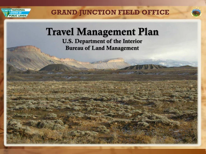
GRAND JUNCTION FIELD OFFICE Travel Management Plan U.S. Department of the Interior Bureau of Land Management GRAND JUNCTION FIELD OFFICE Land Status by Mesa Garfield Montrose Rio Blanco Total County BLM Surface Lands 721,700 322,600
Land Status by County Mesa Garfield Montrose Rio Blanco Total BLM Surface Lands 721,700 322,600 17,100 1,061,400 Federal Minerals 857,700 355,900 17,300 400 1,231,300