Transit-Oriented Development Public Hearing on changes to Chapter 42 - - PowerPoint PPT Presentation
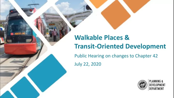
Walkable Places & Transit-Oriented Development Public Hearing on changes to Chapter 42 July 22, 2020 Walkable Places & TOD: Goals: To encourage pedestrian-friendly, mixed-use development with an enhanced, walkable public realm.
Walkable Places & TOD:
Goals:
To encourage pedestrian-friendly, mixed-use development with an enhanced, walkable public realm.
Benefits:
- Property owners benefit by obtaining more buildable area and adjusting parking requirements.
- Pedestrians and neighborhoods benefit by getting safer and more walkable streetscapes and public spaces.
- Neighborhoods benefit by the creation of a more lively and activated area with more eyes on the street.
When it applies:
- Does not apply to existing development.
- Does apply when a property owner redevelops or makes changes to the existing development.
Walkable Places Committee:
Marty Stein* Susan Alleman* Traffic Engineers, Inc. Truman Edminster EHRA Engineering Bolivar Fraga Neighborhood Centers, Inc. Bill Baldwin* Boulevard Realty Veronica Chapa Gorczynski Greater East End Management District Michael Huffmaster Super Neighborhood Alliance Mark Kilkenny** Twinwood U.S., Inc. David Kim Urban Land Institute Greg LeGrande Neartown/Montrose Super Neighborhood Council George Levan Crosspoint Properties Ron Lindsey Houston Real Estate Council James Llamas Midtown Management District Clark Martinson John Mooz Hines Bradley Pepper Greater Houston Builder’s Association Cynthia Reyes-Revilla Northside Village Super Neighborhood Council Abbey Roberson The Texas Medical Center Irma Sanchez Westchase Management District Josh Sanders Jane West Super Neighborhood Alliance
* Planning Commission member ** Former Committee Chair
Pedestrian Realm:
Two sets of standards:
Walkable Places:
To create an opportunity for property owners along any street in Houston to choose from a menu of standards that are tailored to the existing development patterns.
Transit-Oriented Development standards:
To create compact, pedestrian-friendly development tailored to the street’s relationship within ½ mile of transit stations.
Walkable Places:
Available for any street in the City
- Initiated by either 50% of property owners or Planning Department; and
- Requires City Council approval.
Four types of planning standards:
- Pedestrian realm
- Building design
- Site design
- Parking
Walkable Places:
Three pilot areas:
- Hogan and Lorraine Streets in the Near Northside
- Emancipation Avenue between i-45 and Alabama Street
- The Midtown area, generally bound by the Pierce Elevated, US 59/I-69, Spur 527/Bagby street
Transit-Oriented Development:
Map is based on objective criteria that relate to the street segment’s unique conditions
- Primary streets are mandatory, eliminates parking requirements; and
- Secondary streets are optional and reduce parking by 50%.
Four types of planning standards:
- Pedestrian realm
- Building design
- Site design
- Parking
TOD Map Analysis:
- 1. Segment is a public road within ½ mile of an existing or planned
transit station.
- 2. If it meets ALL of these criteria, it is eligible for Secondary Street:
- 1. Less than 50% of street segment length is single-family residential lots 3,500 SF or larger
- 2. Less than 50% of street segment length is industrial, manufacturing bulk warehouse
- 3. Not designated as Special Minimum Building Line or Special Minimum Lot Size
- 4. Not a freeway or freeway frontage road (except below-grade freeway & covered by an atgrade cap
structure)
- 5. Not grade-separated or limited access roadway
- 6. Not a street segment with open-ditch drainage system
- 7. Existing roadway meets applicable IDM standards, or there are approved plans showing the location of the
future curb
- 8. There is connection to the transit station via an eligible TOD Street
TOD Map Analysis (continued):
- 3. If it meets ANY of the these criteria, it becomes a Primary Street:
- 1. Within a designated Major Activity Center
- 2. Within a census tract where car ownership is 80% or less
- 3. Within 1/4 mile of a college or university campus
- 4. High Activity Population Density (7,200+ activity population/square mile) within ¼ mile
- 5. High Intersection Density (76+ intersections/square mile) within ¼ mile
- Insert map here
Public Engagement Timeline:
- Walkable Places Committee meetings (at City Hall Annex, recorded and
posted on Planning Department website) January 2017 – March
- Six Community Meetings
October – November 2019
- PENDING
- Pending
- Greater East End Management District Pending
Walkable Places Committee Meetings January 2017 – October 2019 Walkable Places Pilot Areas Public Input Meetings (3 per area) June – October 2018 Walkable Places Committee Approves Framework June 2019 Six Community Meetings on Proposed Framework October – November 2019 Planning Commission Reviews Framework January 2020 Planning Commission Public Hearing for Framework February 2020 Planning Commission Public Hearing for Pilot Areas March 2020 Planning Commission Approves Framework, Pilot Areas May 2020 Presentation to joint QofL and TTI Council Committees June 2020 City Council Public Hearing July 2020
Letters of Support: :
- Center for Civic and Public Policy Improvement
- East End District
- Greater Houston Builders’ Association
- Greater Northside Management District
- Hines Development Company
- Houston Real Estate Council
- Midtown Management District
- SuperNeighborhood Alliance members