
SLIDE 1
Topics in Computational Sustainability
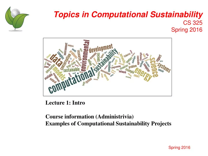
CS 325 Spring 2016 Lecture 1: Intro Course information (Administrivia) Examples of Computational Sustainability Projects
Spring 2016
Topics in Computational Sustainability CS 325 Spring 2016 Lecture - - PowerPoint PPT Presentation
Topics in Computational Sustainability CS 325 Spring 2016 Lecture 1: Intro Course information (Administrivia) Examples of Computational Sustainability Projects Spring 2016 Course Information Lectures : Tuesdays and Thursdays - 10:30 11:50
Spring 2016
5
6
Balancing Environmental & Socioeconomic Needs
Dynamical Models Simulation Control Optimization
CompSustNet
Simulation Dynamical Models Optimization Multi-Agent Systems Citizen Science Big Data Machine Learning
7
8
9
10
Gather meaningful data to answer large-scale research questions
Apply results to science-based conservation efforts
Adaptive Spatio-Temporal Machine Learning Models and Algorithms
Relate environmental predictors to
and absences
Land Cover Weather Remote Sensing
Environmental Data Patterns of occurrence of the Barn Swallow for different months of the year Source: Daniel Fink
80,000+ CPU Hours (~ 10 Years!!!)
eBird Citizen Science
bird
hours of field work
(170+years) Bird Observations State of the Birds Report (officially released by Secretary of Interior)
1st Time Hemisphere Scale Bird Distribution Models, Revealing, at a fine resolution, Species’ Habitat Preferences
Distribution Models for 400+ species with weekly estimates at fine spatial resolution (3km2)
Novel Approaches To Conservation Based on eBird Models
Suggesting interesting birding places
– Optimization problem:
Objective function: maximize # of different species seen Constraint on the # of sites to visit
More species to observe compared with experts’ suggestions
Find Best Places to visit
Secondary criterion: Bird-Watcher Assistant suggests places which are not frequently visited previously, but are potentially interesting.
cost Habitat suitability
Glacier Park Yellowstone Salmon-Selway
17
Wildlife Corridors link core biological areas, allowing animal movement between areas; Typically: low budgets to implement corridors. Find a group of patches that:
(and with maximum habitat suitability) Given a graph G with a set of reserves:
Connection Sub-graph Problem
= land patch = reserve If you can move between two patches
5 km grid (12788 land parcels): minimum cost solution $8M 5 km grid (12788 land parcels): +1% of min. cost
Glacier Park Yellowstone Salmon-Selway Real world instance:
Corridor for grizzly bears in the Northern Rockies, connecting: Yellowstone Salmon-Selway Ecosystem
Glacier Park
(12788 parcels )
20
21
22
23
24
Nonlinear mapping
25
26
27
Nonlinear mapping regression
28
Most up-to-date map
29
Expeditions in Computing (CISE)
Carla Gomes October 2014
Biodiversity and Conservation Economic Development Renewable Energy & Sustainable Materials
Cross-Cutting Computational Models/Algorithms Leveraging them across Applications 20+ faculty, 30+ graduate students, 80+ undergrad Students, 12 Institutions, 7 colleges, 13 departments, 150+collaborators
30
Expeditions in Computing (CISE)
Carla Gomes October 2014
Biodiversity and Conservation Economic Development Renewable Energy & Sustainable Materials
20+ faculty, 30+ graduate students, 80+ undergrad Students, 12 Institutions, 7 colleges, 13 departments, 150+collaborators Cross-Cutting Computational Models/Algorithms Leveraging them across Applications Pattern Decomposition with Complex Constraints
Materials Discovery for Fuel Cells and Solar Fuels
Sequential Decision Making
Wildlife Corridor Design
Species’ Habitat Requirements
Migratory Pastoralism
Water-points Planning Index-based Livestock Insurance
Traffic Halibut
Fishery Mgtm. Sea Star Wasting Disease
Incentivize Ciitizen Scientists
Birds
UDiscoverIt: for Fuel and Solar Cells
Rangeland and Forage
Electric Car
Network Design Species Distributions
Monitoring Elephants (Elephant Calls)
Monitoring Birds (Flight Calls)
Rangeland and Forage Birds Mamals
Smart Grid
31