THERMAL STRATIFICATION PATTERNS OF CALLANDER BAY, ONTARIO Jamie - - PowerPoint PPT Presentation
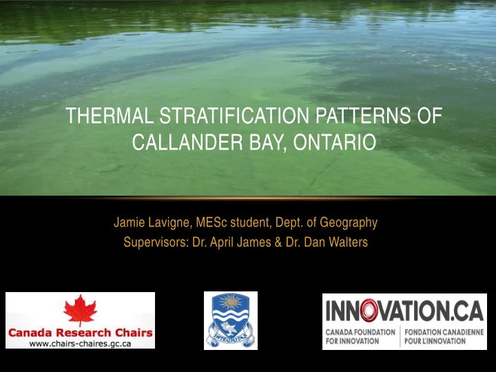
THERMAL STRATIFICATION PATTERNS OF CALLANDER BAY, ONTARIO Jamie Lavigne, MESc student, Dept. of Geography Supervisors: Dr. April James & Dr. Dan Walters BACKGROUND Callander Bay Catchment area of ~296 km 2 Surface area of ~12 km
Callander Bay
Catchment area of ~296 km2 Surface area of ~12 km2
(Hutchinson Environmental Sciences Ltd. 2011).
Municipal drinking water source Recreational use - swimming, boating fishing Reoccurring algal problem
BACKGROUND
Land classes of Callander Bay. Courtesy of Hutchinson Environmental Sciences Ltd. (2011).
BATHYMETRY
10 m 9 m 8 m 7 m
Callander Bay bathymetry. Map digitized courtesy of Dr. Krys Chutko. Landscape courtesy of Google earth, 2013.
THERMAL STRATIFICATION
Typical temperature profile from a temperate stratified lake showing three layers based on differences in
- density. Courtesy of Thomas et al. (1996).
Lake image of summer stratification showing different layers in density. Courtesy of University of Guelph, (2013).
Coastal and subcoastal non-floodplain sand lake—Window – Hydrology, WetlandInfo, Department of Environment and Heritage Protection, Queensland.
- Sediments act as a sink for
nutrients with the exception
- f periods of anoxia (lack of
- xygen).
- During anoxia, nutrients are
released into the hypolimnion (bottom waters) (Pettersson, 1998).
- Anoxia = < 1 mg/L of
dissolved oxygen
INTERNAL LOADING
Oxygen concentration and chlorophyll a. Notice as oxygen depletion occurs chlorophyll a concentration increase in the summer months. Courtesy of Thomas et al. (1996).
Evaluate the trophic state (algal biomass) of Callander Bay. Measure chlorophyll-a, Secchi depth Assess the stratification pattern and determine whether anoxia
- ccurs.
Measure vertical profiles of temperature/dissolved
- xygen
Can thermal characteristics help to explain bloom formation?
- Municipal drinking water source
- Callander Bay brings revenue/tourism
- Excess nutrients cause blue-green algae
problems - poses a health threat
RESEARCH OBJECTIVES AND SIGNIFICANCE
Blue-green algae bloom in Callander Bay. Photo courtesy of Paul Smylie, 2011.
Buoy Installation June 2013
Much thanks to MNR – North Bay
- Dr. Chutko and I after buoy installation, 2013.
MNR crew and Dr. Walters helping with installation, 2013
Buoy Removal October 2013
Much thanks to our colleagues at Callander Bay Harper’s Marina!
Crew from Harper’s Marina and Dr. Walters. Photo courtesy of Dr. James. 2013
EQUIPMENT ON BUOY
Schematic of buoy installation and suspended equipment, 2013 Rope with equipment that was suspended from buoy, 2013.
BUOY (SITE 6) AND SPOT SAMPLING SITES
Site 1 Site 2 Site 3 Site 6 Site 4 Site 5
Weather station
Callander Bay bathymetry. Map digitized courtesy of Dr. Krys Chutko and landscape courtesy of Google earth, 2013. Weekly spot sampling Continuous + weekly spot sampling
10 m 9 m 8 m 7 m
WEATHER STATION
- Continuous data
- Air temperature
- Wind direction
- Wind Speed
- Barometric pressure
Many thanks to Mayor Hector Lavigne!
Stratified Isothermal
C
Equipment fall Data offload Data offload
Data offload Equipment fall
- Successful 1st year of a m ulti-
year study
- Data from early sum m er
through late fall.
- Early com m ents on stratification
patterns
- Early season – the system is
stratified; late season we lose this stratification – system m ixes
- The spot sam pling
- acting as useful checks &
allowing som e com m ent on spatial extent of sim ilar conditions
- Evidence of anoxic conditions at
depth – could this prom ote internal loading?
SUMMARY & FUTURE
Questions/Comments/Suggestions
- Dr. Walters sampling water. Photo courtesy of Paul
Smylie 2011.
- Conduct winter sampling
- Analyze total phosphorus