
SLIDE 1
The Value of Geospatial Information in Local Public Service Delivery - - PowerPoint PPT Presentation
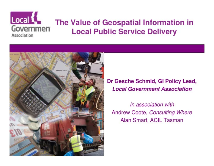
The Value of Geospatial Information in Local Public Service Delivery Dr Gesche Schmid, GI Policy Lead, Local Government Association In association with Andrew Coote, Consulting Where Alan Smart, ACIL Tasman New approach to local public service