
SLIDE 1
The use of spatial analysis and surnames to chart migration history - - PowerPoint PPT Presentation
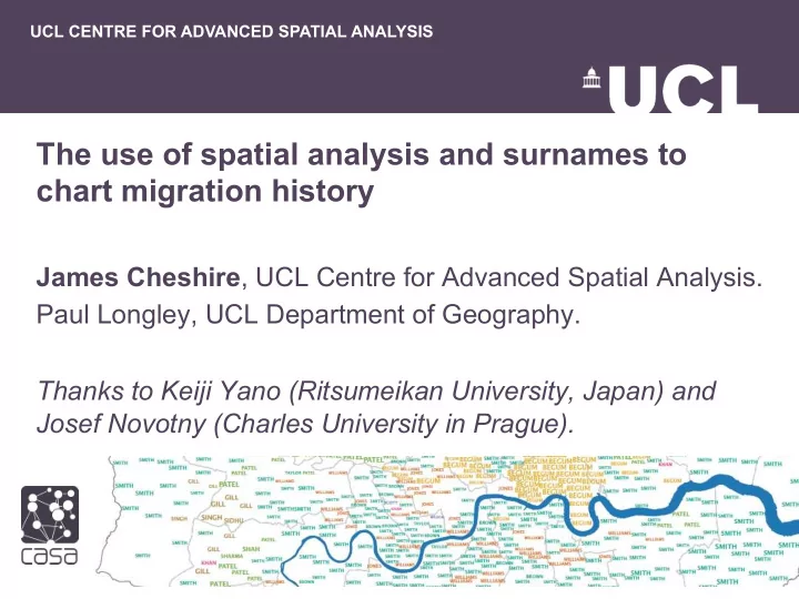
UCL CENTRE FOR ADVANCED SPATIAL ANALYSIS The use of spatial analysis and surnames to chart migration history James Cheshire , UCL Centre for Advanced Spatial Analysis. Paul Longley, UCL Department of Geography. Thanks to Keiji Yano (Ritsumeikan
200KM