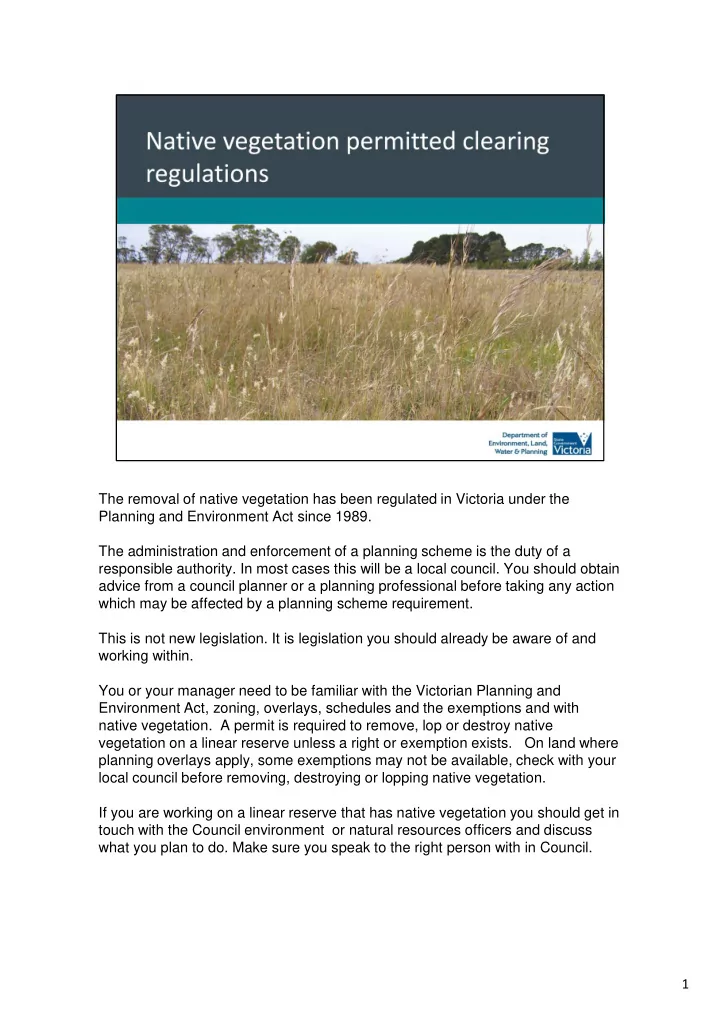
SLIDE 1
The removal of native vegetation has been regulated in Victoria under the Planning and Environment Act since 1989. The administration and enforcement of a planning scheme is the duty of a responsible authority. In most cases this will be a local council. You should obtain advice from a council planner or a planning professional before taking any action which may be affected by a planning scheme requirement. This is not new legislation. It is legislation you should already be aware of and working within. You or your manager need to be familiar with the Victorian Planning and Environment Act, zoning, overlays, schedules and the exemptions and with native vegetation. A permit is required to remove, lop or destroy native vegetation on a linear reserve unless a right or exemption exists. On land where planning overlays apply, some exemptions may not be available, check with your local council before removing, destroying or lopping native vegetation. If you are working on a linear reserve that has native vegetation you should get in touch with the Council environment or natural resources officers and discuss what you plan to do. Make sure you speak to the right person with in Council. 1
SLIDE 2 Under the Victoria Planning Provisions native vegetation is defined as ‘plants that are indigenous (or natural) to Victoria, including trees, shrubs, herbs and grasses’. It is important to understand what native vegetation is and that it refers to more than just trees. If you manage or work on a linear reserve you also need to know about terms such a remnant patch and scattered trees. Determining if your work will impact on a remnant patch will determine if you need to apply for a planning permit. A remnant patch is either:
- an area of vegetation where at least 25 per cent of the total perennial
understorey plant cover is native or any area with three or more native canopy trees, where the canopy foliage cover is at least 20 per cent of the area. A scattered tree is a native canopy tree that does not form part of a remnant
- patch. A canopy tree is a mature tree that is greater than three metres in height
and is normally found in the upper layer of the relevant vegetation type. A perennial is a plant that lasts more than 2 years, it may die down but regrows each year. A annual grows from a seed, flowers, sets seed and dies within one
- year. This photo show a remnant patch
2
SLIDE 3
This is just some basic representations of what 25% native perennial cover may look like spatially. All the shapes represent perennial cover. 3
SLIDE 4
Some examples of native vegetation If you need any further guidance or assistance contact your local council or find a good consultant. 4
SLIDE 5 Examples of vegetation that does not meet definition of remnant vegetation or scattered trees may include:
- isolated native shrubs or isolated native grass tussocks
- areas where native vegetation has been replaced by exotic species (e.g. pasture
grasses).
- planted exotic vegetation such as crops –which shouldn’t be on a linear reserve
anyway This may include plants that are not indigenous to the local area and have become environmental weeds or areas that have been assessed under other processes such as an Environmental Effects Statement. Planning schemes can be viewed at: http://planningschemes.dpcd.vic.gov.au/ If you are unsure if the vegetation you propose to remove is native vegetation then you should assume it is native. If you are unsure if a native tree you propose to remove is a scattered tree or part of a remnant patch, then you should assume it is part of a remnant patch if grouped in three
- f more trees and a scattered tree if less than three.
5
SLIDE 6 Contractors looking to remove native vegetation to carry out a project need to go through the permitted clearing process of applying for a planning permit to remove the vegetation and offsetting any impacts unless they have an exemption under the planning scheme.
- avoid the removal of native vegetation that makes a significant
contribution to Victoria’s biodiversity
- minimise impacts on Victoria’s biodiversity from the removal of native
vegetation Unfortunately it is difficult to put a trigger on the extent of removal that will require an offset. The extent of removal is only one factor in determining the offset requirement. The vegetation condition score as well as the strategic biodiversity score also play a big part in the calculations. 6
SLIDE 7 The following information is on the Department of Environment Land Water and Planning (DELWP) website. This slide is a view of the modelled location risk mapping for the whole of the state showing low (blue),moderate and high risk areas. This mapping feeds into an online process for applications and is used to determine offsets. If native vegetation is to be removed and a planning permit required then use the
- nline tool to assist in the planning.
7
SLIDE 8
The map is used to determine the location risk category A, B or C. This is combined with extent of the clearing to determined the risk-based pathway. Risk-based pathways enable applicants to get a clear indication upfront of their likely requirement for offsets using basic information. 8
SLIDE 9 The Native Vegetation Information Management system allows an applicant to determine which pathway their application will fall in. It is an online system. If the site does not have native vegetation then don’t use the tool. It has been designed to use if you know there is native vegetation present. There is an online tutorial. If you don’t know a sugar gum from a manna gum or bent grass from wallaby grass or even if you have a remnant patch then find someone who does. With the tool you can identify your site and map the area of remnant you want to remove. This system has been designed to make it easier for low risk cases to be assessed and offsets determined Identify the native vegetation to be removed and the tool determines the risk- based pathway and provides a report. The report will need to be attached to your planning application. NOTE: the tool does not determine whether or not native vegetation is in the
- location. By marking an area the tool assumes there is native vegetation there.
9
SLIDE 10
This online tool allows you to either type in the address or zoom in. There are layers you may add such as aerial photography. Mark in where you want to remove the native vegetation. On the left hand side of the screen is the risk-based pathway In this example on a roadside and the proposal came up as low. Proceeds to the results and you end up with a report on the offsets required. If the result ends up in the moderate and high risk-based pathway you should try and avoid the removal by either changing the site or deciding to bore under the vegetation or choosing another option. The moderate and high risk-based pathway indicates the project is in an area that has been threatened species or communities and you will need to employ a consultant to complete the report. 10
SLIDE 11
Offsets provide appropriate compensation to the environment if you end up with a permit to remove the native vegetation. Offsets must be secured before clearing commences. There are two classes of offset: General offset: for impacts deemed to be low or not significant on rare or threatened species habitat, Specific offset: designed to specifically compensate for the impact on remaining rare or threatened species habitat. 11
SLIDE 12 Offset sites must meet eligibility requirements (see Native vegetation gain scoring manual). There are first party and third party offsets First party offsets: Apply to land managers doing the clearing on their own land They may secure a general offset on their own land if the native vegetation meets the offset requirements must be secured with a legal agreement and a 10 year management plan. Third party offsets are obtained via:
- credits registered on the DELWP native vegetation credit register.
- BushBroker, Trust for Nature and offset brokers provide a service
to assist third party offset sellers and buyers.
- over-the-counter offsets programs allow permit holders to access
- ffset at fixed prices.
12
SLIDE 13
Due Diligence – do the basic checks There is a lot of information on the Biodiversity Interactive Mapping on the DELWP website. It is free to use and there is a user’s manual. http://www.depi.vic.gov.au/environment-and-wildlife/biodiversity/biodiversity- interactive-map You may get an indication on what species are likely to be in an area and so know what to look for on site and whether to employ a consultant. The mapping displays vegetation types, planning layers, threatened flora and fauna, wetlands and local government areas. It will help with your project planning Some organisation apply for a login to gain additional access to other layers 13
SLIDE 14
There are 2 different kits for applicant, one for the low risk and one for the moderate to high risk 14
SLIDE 15
These are the key documents which are currently being revised. Biodiversity assessment guidelines Outlines objective, application requirements, decision guidelines and offset obligations Native vegetation gain scoring manual Outlines offset standards, scoring system and arrangements for establishing offsets. Permitted clearing of native vegetation – Biodiversity assessment handbook Provides biodiversity guidance for local government and DELWP staff when assessing applications. There is plenty of information on the DELWP website 15
SLIDE 16
A permit to remove native vegetation does not replace any requirements under the Flora and Fauna Guarantee Act 1988, the Wildlife Act and the Commonwealth Environment Protection and Biodiversity Conservation Act 1999. If in doubt about the need for planning permit contact a Council Planner. Minimise the footprint of the project. Driving over a grassland causes compaction so use fire breaks or driveways. Use matting to spread the vehicle load. 16
SLIDE 17
In finishing I would like to draw your attention to the Victorian Volcanic Plains Conservation Network. The website has a range of information about legislation, management ideas, research and opportunities to get out an learn more about the plant and animal communities of the plains. 17