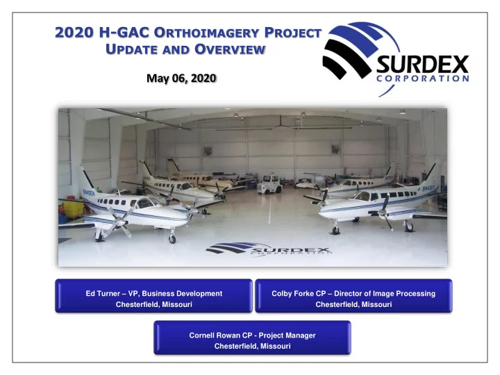

2020 H-GAC O RTHOIMAGERY P ROJECT U PDATE AND O VERVIEW May 06, 2020 Ed Turner – VP, Business Development Colby Forke CP – Director of Image Processing Chesterfield, Missouri Chesterfield, Missouri Cornell Rowan CP - Project Manager Chesterfield, Missouri
2020 H-GAC Aerial Orthoimagery Project - Update and Overview The Acquisition Parameters Resolution Flightlines Flying Height Lambert Tiles Square Miles Flight Line Miles Flown On-Line Hours (AGL) AGL Planned/Flown 6” 1,837 6,250’ 7,423.57 141pl / 175fl / +~20% 6,870nm / 7,906sm 38.75 12” 1,502 12,500’ 6,069.79 83pl / 103fl / +~22% 3,685nm / 4,241sm 18.75 TOTAL 3,339 N/A 13,493.36 224pl /278fl / +~21% 10,555nm / 12,147sm 57.50 22 of the 141 6- inch flightlines were “Tall Building Flightlines” to help reduce building lean All flightlines were acquired December 22, 2019 through January 20, 2020 in 30 missions December 22, 22, 22, 22, 23, 23, 23, 24, 24, 24, 30, 30, 30, 31, 31, 31, 2019 & January 04, 04, 04, 04, 05, 05, 05, 06, 08, 08, 08, 19, 19, 20, 2020 Missouri Statewide Mapping Program 2
2020 H-GAC Aerial Orthoimagery Project - Update and Overview 6-inch and 12-inch Resolution Flightlines 6-inch and 12-inch Resolution Areas Missouri Statewide Mapping Program 3
2020 H-GAC Aerial Orthoimagery Project - Update and Overview Flightlines Flown for Tall Buildings Missouri Statewide Mapping Program 4
2020 H-GAC Aerial Orthoimagery Project - Update and Overview SurCheck - 6-inch Image Resolution Missouri Statewide Mapping Program 5
2020 H-GAC Aerial Orthoimagery Project - Update and Overview SurCheck - 12-inch Image Resolution Missouri Statewide Mapping Program 6
2020 H-GAC Aerial Orthoimagery Project - Update and Overview 6-inch re-sampled to 12-inch Missouri Statewide Mapping Program 7
2020 H-GAC Aerial Orthoimagery Project - Update and Overview 6-inch re-sampled to 12-inch Missouri Statewide Mapping Program 8
2020 H-GAC Aerial Orthoimagery Project - Update and Overview Invalid Edit Calls Missouri Statewide Mapping Program 9
2020 H-GAC Aerial Orthoimagery Project - Update and Overview Invalid Edit Calls Missouri Statewide Mapping Program 10
2020 H-GAC Aerial Orthoimagery Project - Update and Overview Invalid Edit Calls Missouri Statewide Mapping Program 11
2020 H-GAC Aerial Orthoimagery Project - Update and Overview Invalid Edit Calls Missouri Statewide Mapping Program 12
2020 H-GAC Aerial Orthoimagery Project - Update and Overview Invalid Edit Calls Missouri Statewide Mapping Program 13
2020 H-GAC Aerial Orthoimagery Project - Update and Overview Invalid Edit Calls Missouri Statewide Mapping Program 14
2020 H-GAC Aerial Orthoimagery Project - Update and Overview Missouri Statewide Mapping Program 15
Recommend
More recommend