
SLIDE 1
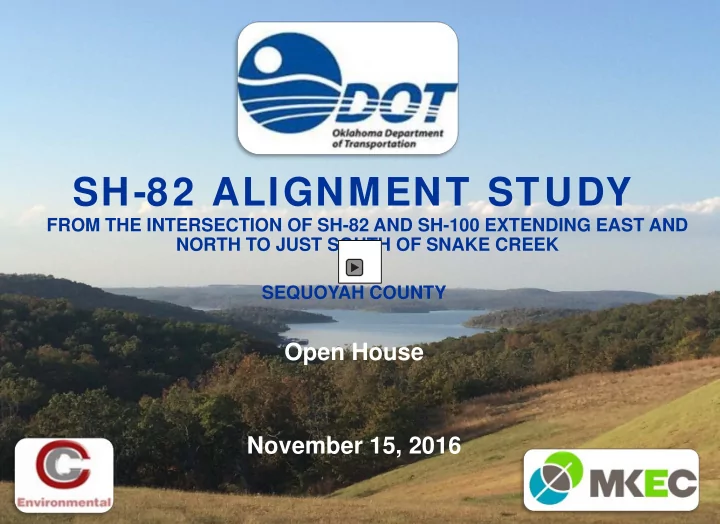
SH-82 ALIGNMENT STUDY
FROM THE INTERSECTION OF SH-82 AND SH-100 EXTENDING EAST AND NORTH TO JUST SOUTH OF SNAKE CREEK SEQUOYAH COUNTY
SH-82 ALIGNMENT STUDY FROM THE INTERSECTION OF SH-82 AND SH-100 - - PowerPoint PPT Presentation
SH-82 ALIGNMENT STUDY FROM THE INTERSECTION OF SH-82 AND SH-100 EXTENDING EAST AND NORTH TO JUST SOUTH OF SNAKE CREEK SEQUOYAH COUNTY Open House November 15, 2016 PRESENTATION OUTLINE Background Purpose and need for the project
FROM THE INTERSECTION OF SH-82 AND SH-100 EXTENDING EAST AND NORTH TO JUST SOUTH OF SNAKE CREEK SEQUOYAH COUNTY
Background
Scope
Environmental Alternatives Summary
Background – Purpose and need for the project Scope – Design constraints Environmental – Environmental review process Design Alternatives – Five alignment alternatives Summary – Matrix, timeline and public comments
SH-82
Background
Scope
Environmental Alternatives Summary
Present and solicit input for the proposed improvements of SH- 82 from the intersection of SH- 82 and SH-100 extending east and north to just south of the Snake Creek Bridge in Sequoyah County, and to obtain public input to aid in selecting a preferred alternative.
Background
Scope
Environmental Alternatives Summary
This segment of SH-82 was originally a county road and doesn’t meet current highway design criteria Unsafe curves with poor sight distance High accident rate
Unsafe Curves
Two, 11-foot driving lanes Poor horizontal and vertical curves
Background
Scope
Environmental Alternatives Summary
No shoulders & Steep slopes Poor vertical curve (limited sight distance) Poor horizontal curves
Poor sight distance to see around corners Skewed intersections with limited sight distance
Background
Scope
Environmental Alternatives Summary
Rocks preventing clear sight Unsafe intersection
(2006 TO 2016) Over 4.5 times more accidents than the state average Fatal collision rate is 540% higher than the state average Three (3) fatalities
Background
Scope
Environmental Alternatives Summary
Skewed intersection at SH-82 and E 970 Road
Current traffic (2016): 1,460 vehicles/day Project 30 year traffic (2046): 2,580 vehicles/day
(2006 TO 2016)
Accident History in Relation to Unsafe Curves and intersections
94% of the accidents occurred at poor curves or dangerous intersections
Background
Scope
Environmental Alternatives Summary
Type of Collision
Fixed Objects 56.7% Overturning 28.4% Angle Turning 4.5% Head-On 3.0% Miscellaneous 7.4%
Improve safety beginning at the intersection of SH-82 and SH-100 extending north and east to Snake Creek Bridge. Analyze five alternative alignments Perform an environmental review Incorporate the Cherokee Hills Scenic Byway Plan
Background Scope Environmental Alternatives Summary
Correct sight distance around curves
Background
Scope Environmental Alternatives Summary
Community Facilities Cultural Issues Farmland Floodplain Hazardous Waste Right-of- Way Parks Socioeconomic Stream Impacts Endangered Species Tribal Concerns Wetlands
Background Solution Environmental Alternatives Summary
Blackgum Christian Union Church Faith Christian Church
Several businesses in area
Underground storage tanks
Impact to homes and businesses
Background Solution Environmental Alternatives Summary
11 federally listed species Quality habitat
Minimal
Several stream crossings
Considered five alignment alternatives
Alt. 1 - Rehabilitation with curve corrections of the existing alignment to meet a 55 mph design speed. Alt. 2 – Reconstruction with an offset alignment to the east at a 55 mph design speed. Alt. 3 - Reconstruction with an offset alignment to the east at a 65 mph design speed. Alt. 4 - Reconstruction with an offset alignment further east at a 65 mph design speed. Alt. 5 - Reconstruction with an offset alignment to the west at a 65 mph design speed.
Considered topography, right-of-way and utility impacts plus environmental constraints.
Background Solution Environmental Alternatives Summary
Rehabilitation with curve corrections of the existing alignment to meet a 55 mph design speed.
New alignment to correct curves while keeping traffic open Majority of the alternative runs parallel to existing on the east side Utilizes approximately 2,200 feet of existing highway Does not correct vertical curve south of Snake Creek Least environmental impact Potential impacts to commercial property, community facility and residences Estimated total alternative cost of $21.1 million
Alternative 1
Background Solution Environmental Alternatives Summary
Alternative 2r
Reconstruction with an offset alignment to the east at a 55 mph design speed
No curves north of EW-97 Road meet 65 mph The new alignment runs east of existing Utilizes 1,000 feet of existing highway Corrects vertical curve south of Snake Creek where accidents are frequent Potential impact to three residential properties Estimated total alternative cost of $20.3 million
Background Solution Environmental Alternatives Summary
Alternative 3
Reconstruction with an offset alignment to the east at a 65 mph design speed
Located slightly east of Alternative 2 Potential impact to five residential properties Estimated total alternative cost of $30.6 million
Background Solution Environmental Alternatives Summary
Alternative 4
Reconstruction with an offset alignment further east at a 65 mph design speed
Located furthest east of all alternatives Mountainous terrain and a plateau with steep slopes Most potential for environmental impacts Most potential to impact residential properties Estimated total alternative cost of $37.5 million
Background Solution Environmental Alternatives Summary
Alternative 5s
Reconstruction with an offset alignment to the west at a 65 mph design speed
Straightens the intersection at SH-100, SH-82 and NS-4515 Road Location of several accidents Most direct and shortest route Potential impact to businesses Estimated total alternative cost of $28.7 million
Background Solution Environmental Alternatives Summary
The Cherokee Hills Scenic Byway was created to “tell the story of NE Oklahoma that captures the culture, traditions and beauty of the land of the Cherokee people.” Scenic byway begins in Gore and ends in West Siloam Springs
Located within the scenic byway
The Byway program includes
Possible scenic overlook Reducing accidents in rural areas Economic development
Scenic Turnout Opportunities
Possible Scenic Overlook
Background Solution Environmental Alternatives Summary
Background Solution Scenic Byway Environmental Summary
Project Summary Matrix
Category Alternative 1 Alternative 2 Alternative 3 Alternative 4 Alternative 5
Project Overview Design Speed (miles per hour)(mph) 55 55 65 65 65 Length of Alignment (miles) 2.56 2.68 2.63 3.10 2.12 Relocated Utilities 3 3 3 3 3 Community Facilities Impacts 1 possible 1 possible 1 possible 1 possible Residential/Economic/Business Impacts 55 59 62 68 41 Project Costs Construction Costs $ 20,461,000 $ 19,667,000 $ 29,896,000 $ 36,983,000 $ 28,321,000 Right-of-Way Costs $ 547,000 $ 499,000 $ 592,000 $ 337,000 $ 358,000 Utility Relocation Costs $ 134,000 $ 128,000 $ 99,000 $ 130,000 $ 23,000 Total Alternative Costs $ 21,142,000 $ 20,294,000 $ 30,587,000 $ 37,450,000 $ 28,702,000
Background Solution Scenic Byway Environmental Summary
Incorporate substantial comments into the design Conduct further public outreach after the alternative has been selected
Programmed to start in: Federal Fiscal Year 2020
Programmed to start in: Federal Fiscal Year 2022
Oklahoma Department of Transportation Environmental Programs Division 200 NE 21st Street Oklahoma City, OK 73105