
SLIDE 1
CONFIDENTIAL
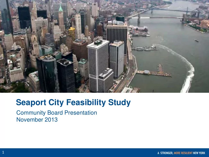
Seaport City Feasibility Study Community Board Presentation - - PowerPoint PPT Presentation
Seaport City Feasibility Study Community Board Presentation November 2013 1 CONFIDENTIAL The Risks We Face Using the NPCC projections, the City, with the CUNY Institute for Sustainable Cities, developed maps showing how floodplains will
CONFIDENTIAL
CONFIDENTIAL
100-YEAR FLOODPLAIN* 2013 PWMs 2050s Projected Change (%) Residents 398,000 801,000 101% Jobs 271,000 430,000 59% Buildings 68,000 114,000 68% Floor Area (SF) 534M 855M 60%
* Numbers are rounded for clarity Source: FEMA; CUNY Institute for Sustainable Cities
100-Year Floodplain (FEMA 2013 PWMs) 100-Year Floodplain (Projected 2020s) 100-Year Floodplain (Projected 2050s)
CONFIDENTIAL
Source: DCP Pluto, FEMA, CUNY Institute for Sustainable Cities
SOUTHERN MANHATTAN 100-YEAR FLOODPLAIN* Buildings and Units 2013 PWMs 2020s Projected 2050s Projected Residential Buildings 940 1,400 1,650 Residential Units 42,000 60,800 68,000 Commercial and Other Buildings 670 910 1,080
CONFIDENTIAL
CHRONIC HAZARDS Baseline (1971- 2000) 2020s 2050s Middle Range (25th-75th percentile) High End (90th percentile) Middle Range (25th-75th percentile) High End (90th percentile) Average Temperature 54ºF +2.0ºF to 2.8ºF +3.2ºF +4.1ºF to 5.7ºF +6.6ºF Precipitation 50.1 in. +1% to 8% +10% +4% to 11% +13% Sea Level Rise¹ +4 to 8 in. +11 in. +11 to 24 in. +31 in.
Sea levels likely to rise 1-2 ft. and could rise by > 2 ½ ft. (on top of 1 ft. since 1900)
¹ Baseline period for sea level rise projections is 2000-2004. Source: NPCC; for more details, see Climate Risk Information 2013
NPCC is extending projections
2100s
CONFIDENTIAL
EXTREME EVENTS Baseline (1971-2000) 2050s Middle Range (25th-75th percentile) High End 90th percentile) Heat Waves and Cold Events Days per year > 90ºF 18 39 to 52 57 Heat waves per year 2 5 to 7 7 Intense Precipitation Days per year with rainfall > 2 in. 3 4 5 Coastal Floods at the Battery¹ Future annual frequency of today’s 100-year flood 1.0% 1.7% to 3.2% 5.0% Flood heights from a 100-year flood (feet above NAVD88) 15.0 15.9 to 17.0 17.6
Source: NPCC; for more details, see Climate Risk Information 2013 ¹ Baseline period for sea level rise projections is 2000-2004.
The number of 90+ degree days could double (or triple), to current level of Birmingham, AL
CONFIDENTIAL
CONFIDENTIAL
Install integrated flood protection system in Lower Manhattan, including LES Install an integrated flood protection system at Hospital Row and remaining areas around Southern Manhattan and funding is secured Harden key utility, telecom, and transit networks Facilitate Water St. revitalization with plaza activation and enhancement and streetscape improvements Expand Take the HELM program to incent technology and creative businesses to relocate to Lower Manhattan
CONFIDENTIAL
CONFIDENTIAL
CONFIDENTIAL
CONFIDENTIAL
Hafen City in Hamburg, Germany. These architectural / urban planning approaches are typical of a “hardened” cityscape. Example of multi purpose levee in Rotterdam, showing parking functionality.
CONFIDENTIAL
A multi-purpose levee in the Hague integrated with a commercial district. Battery Park City suffered less damage than the east side of Lower Manhattan during Hurricane Sandy.
CONFIDENTIAL
CONFIDENTIAL
CONFIDENTIAL
CONFIDENTIAL
CONFIDENTIAL
CONFIDENTIAL
Subject: Multi-Purpose Levee Existing Conditions Update Following Hurricane Sandy, Mayor Michael R. Bloomberg's Special Initiative for Rebuilding and Resiliency (SIRR) issued "A Stronger, More Resilient New York," a plan to rebuild locally and make City infrastructure and buildings more resilient to climate change. The plan contains a range of short-, medium-, and long-term initiatives. One of the most ambitious long-term concepts is a multipurpose levee (MPL) for the east side of Lower Manhattan called "Seaport City." The first step, which NYCEDC was tasked to administer, is to conduct a comprehensive feasibility analysis. The eastern edge of Lower Manhattan is one of the lowest-lying areas on the island and is at higher risk to threats both from extreme weather events and long-term sea level rise. An MPL would be a barrier to protect Lower Manhattan from flooding while also supporting residential, retail or commercial uses, providing open space, serving as transportation infrastructure, and/or providing parking. Ultimately, this MPL would be integrated with and enhance the resiliency being implemented and planned around Southern Manhattan, as directed by "A Stronger, More Resilient New York." In July 2013, NYCEDC issued an RFP to examine the feasibility of the MPL concept. We have since selected a consultant team led by the engineering firm ARCADIS. ARCADIS is ranked among the top 10 design and engineering consultancies in the world and is New York's largest environmental engineering firm. The company's core expertise is in the fields of infrastructure, water, environment and buildings. ARCADIS has partnered with the following sub-consultants:
The team will examine a 1.2-mile area along the eastern edge of Lower Manhattan from the Battery Maritime Building to just north of the Manhattan Bridge, in order to determine the technical, financial and legal feasibility for a range of MPL options. To date, the consultants have assessed existing conditions and contextual considerations within the study area, MPL precedents around the globe and in the U.S., as well as the regulatory framework that would govern the potential development
presentation for related graphics):
Precedents
parking garage, a shopping mall, a levee and a city park.
to allow for easy evacuation when waters rise.
Sandy. Site Conditions
accommodating demographic and economic growth and development.
understanding of these characteristics will be critical as the study moves into the assessment of different MPL configurations.
northern section. The relationship between these aspects and the MPL options to be considered will require close analysis.
including Civic Center, the National Museum of the American Indian, historic banks, the Seaport District, the Battery Maritime Building and the Manhattan and Brooklyn Bridges. The MPL alternatives to be considered as part of the study will have to be mindful of these assets. Regulatory framework: Any future project would certainly require environmental and land use review, and would be subject to various levels of local, state, and federal regulations. Involved or interested agencies would likely include:
The next step after completing the existing conditions analysis will be to identify and evaluate different MPL options. Later on, towards the end of the study, a recommended MPL configuration will be presented together with a stakeholder engagement framework that advances the dialogue and builds consensus around a future project. As Hurricane Sandy taught, it is vital that we are better prepared for the effects of climate change. With the increasing density
We look forward to keeping you apprised of our progress and working with you on this important initiative.