
SLIDE 1
Reasonable property access Efficient highway
- peration
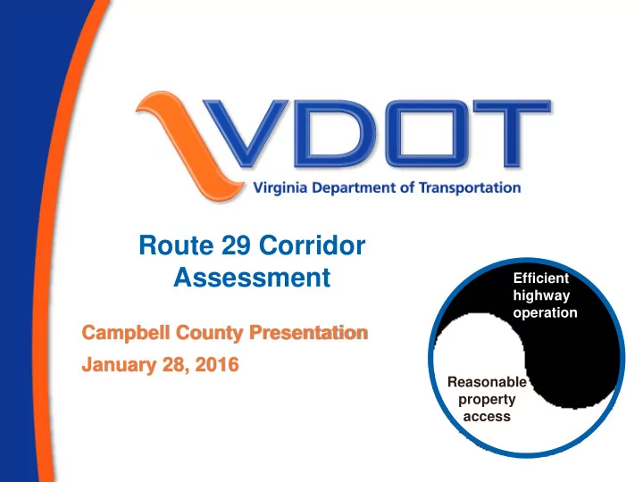
Route 29 Corridor Assessment Efficient highway operation - - PowerPoint PPT Presentation
Route 29 Corridor Assessment Efficient highway operation Campbell County Presentation January 28, 2016 Reasonable property access Purpose of Corridor Assessment Study Project Vision To develop a joint state and local strategy to guide
2
3
4
5
6
7
VDOT Lynchburg District (Rick Youngblood) VDOT Environmental Greater Lynchburg Transit Company / Department of Rail and Public Transportation Lynchburg Regional Airport / Department of Aviation Campbell County (Paul Harvey) Central Virginia MPO/Region 2000 (Bob White) On call consultant (AECOM) University of Virginia Institute for Environmental Negotiation (Judie Talbot, Tanya Cobb) FHWA Virginia Division (Cheng Yan) VCTIR (Amy O'Leary, John Miller)
8
9
10
11
12
13
14
15
16
17
http://www.virginiadot.org/projects/lynchburg/route_29__corridor.asp
http://www.virginiadot.org/projects/lynchburg/default.asp http://www.virginiadot.org/info/access_management_regulations_and_standards.asp http://www.localgovernmentcouncil.org/transportation-lgc/urban-planning-cvmpo.html http://www.co.campbell.va.us/Pages/index.aspx