
SLIDE 1
1
Agenda
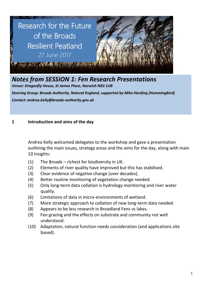
Notes from SESSION 1: Fen Research Presentations
Venue: Dragonfly House, St James Place, Norwich NR3 1UB Steering Group: Broads Authority, Natural England, supported by Mike Harding (Hummingbird) Contact: andrea.kelly@broads-authority.gov.uk
1 Introduction and aims of the day Andrea Kelly welcomed delegates to the workshop and gave a presentation
- utlining the main issues, strategy areas and the aims for the day, along with main
10 insights: (1) The Broads – richest for biodiversity in UK. (2) Elements of river quality have improved but this has stabilised. (3) Clear evidence of negative change (over decades). (4) Better routine monitoring of vegetation change needed. (5) Only long-term data collation is hydrology monitoring and river water quality. (6) Limitations of data in micro-environments of wetland. (7) More strategic approach to collation of new long-term data needed. (8) Appears to be less research in Broadland Fens vs lakes. (9) Fen grazing and the effects on substrate and community not well understood. (10) Adaptation, natural function needs consideration (and applications site based).
Rese search h for for th the Fu Futu ture e
- f the