
SLIDE 1
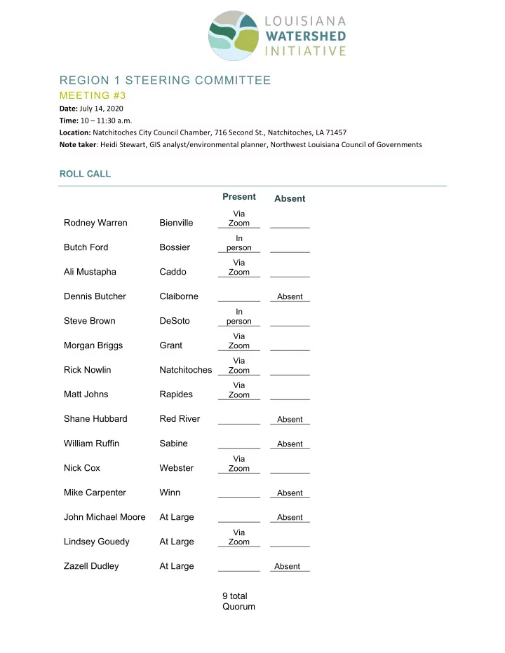
REGION 1 STEERING COMMITTEE MEETING #3 Date: July 14, 2020 Time: 10 - - PDF document
REGION 1 STEERING COMMITTEE MEETING #3 Date: July 14, 2020 Time: 10 11:30 a.m. Location: Natchitoches City Council Chamber, 716 Second St., Natchitoches, LA 71457 Note taker : Heidi Stewart, GIS analyst/environmental planner, Northwest