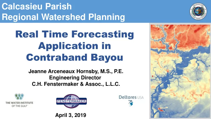
SLIDE 1 Real Time Forecasting Application in Contraband Bayou
Jeanne Arceneaux Hornsby, M.S., P.E. Engineering Director C.H. Fenstermaker & Assoc., L.L.C.
Calcasieu Parish Regional Watershed Planning
April 3, 2019
SLIDE 2 Key Staff and Contributing Sponsors
Butch Babineaux, P .E. Principal Jeanne Hornsby, M.S., P .E. Project Manager Ehab Meselhe, Ph.D., P .E. H&H Modeling Francesca Messina, Ph.D. H&H Modeling
Keith DuRousseau
Callie Benton, P .E. Deputy Project Manager
SLIDE 3
Days Like This…
SLIDE 4
Often leave us asking - What does this mean to me???
SLIDE 5
Often leave us asking - What should we do???
SLIDE 6
And Often Result in Headlines like this
SLIDE 7 What can a Real Time Forecasting System do?
- Provide an opportunity to learn about potential flooding risks
- Move people to safety and away from risk prone areas
- Establish communications with emergency response teams and
community
- Reduce damage costs by removing valuables, vehicles, etc.
SLIDE 8 How Does A RTF System Work?
Data Import
Observed data and Large scale forecasts Delft-FEWS platform
Model output
Maps and Timeseries Delft-FEWS platform
Numerical model(s)
HEC-RAS HEC-HMS Other
SLIDE 9 Forecasting Period
Past Future Hindcast Period (7 Days) Forecast Period (7 Days) Now (Real-time Data) Time Flood Elevation
SLIDE 10
Data Import
SLIDE 11 CPPJ Stage and Precipitation Gauges
82 40 122
Operating
Set for Installation
TOTAL GAUGES IN NETWORK
SLIDE 12
CPPJ Stage and Precipitation Gauges
SLIDE 13
USGS Stage Gauges
SLIDE 14
USGS Stage Gauges
SLIDE 15
Global Forecast System (GFS) Data Gridded Rainfall
SLIDE 16
Lower MS River Real Time Forecasting System Gridded Rainfall
SLIDE 17
Northern Gulf of Mexico Operational Forecast System – Coastal Influences
SLIDE 18
Numerical Models
SLIDE 19
Numerical Models
SLIDE 20
Numerical Models
SLIDE 21 Numerical Models
HEC-HMS sub-basins HEC-RAS rivers HEC-RAS cross sections HEC-RAS storage area CPPJ gauges
SLIDE 22
Real Time Forecasting Results
SLIDE 23 Real Time Forecasting Results
Hindcast Forecast
SLIDE 24 Real Time Forecasting Results - Thresholds
Hindcast
SLIDE 25
Real Time Forecasting Results - Animations
SLIDE 26
Real Time Forecasting Results – Static Maps
SLIDE 27 Real Time Forecasting Results – Fly Throughs
Hindcasted Event – May 2016
https://youtu.be/D1lgOsQCULg
SLIDE 28
Live Stream Utilization and Functionality
SLIDE 29 Utilization
- System has been setup as a
Client/Server Setup.
- Multiple people can login to the
Server
- Parish Staff have been trained on
how to Utilize the System
- Model has been setup to run once
every hour
SLIDE 30 Utilization
- Better Understand the System and how it
reacts to certain events
- Find areas where to focus model
refinement and future calibration
- Easily identify gauging issues
- Work with Office of Emergency
Preparedness during Storm Response
SLIDE 31 Functionality
- Automatic emails will be sent if:
- one of the tasks fails
- data (from CPPJ gauges) or RAS modeled water level exceed one of the
alert thresholds
SLIDE 32 CURRENT AND FUTURE STEPS
- Setup on the Client Server
- CPPJ is utilizing the models to
better understand their system
- Utilize in major events
- Engineers are identifying where
model refinement/calibration should occur
- Upgrade to a 2D model
- Extend to other watersheds
SLIDE 33
Jeanne Arceneaux Hornsby, M.S., P.E. Engineering Director C.H. Fenstermaker & Assoc., L.L.C. jeanne@fenstermaker.com 337-237-2200
Calcasieu Parish Regional Watershed Planning