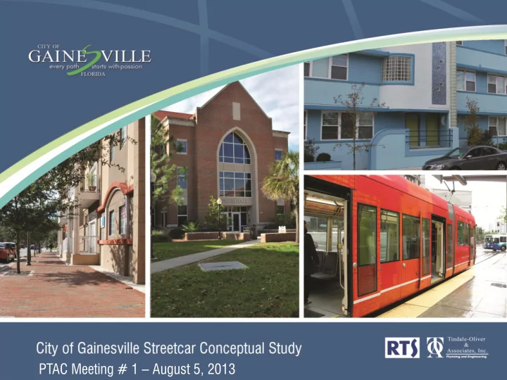
PTAC Meeting # 1 August 5, 2013 Project Team Project Team Joel - - PowerPoint PPT Presentation

ptac meeting 1 august 5 2013 project team project team
SMART_READER_LITE
LIVE PREVIEW

PTAC Meeting # 1 August 5, 2013 Project Team Project Team Joel - - PowerPoint PPT Presentation

PTAC Meeting # 1 August 5, 2013 Project Team Project Team Joel Rey, P.E., AICP Principal In Charge Evan Johnson, AICP, LEED AP Co-Project Manager Michael English, AICP Ryan Suarez, AICP Project Manager Co-Project Manager Alan Danaher,


slide-1
SLIDE 1

PTAC Meeting # 1 – August 5, 2013

slide-2
SLIDE 2

Project Team

slide-3
SLIDE 3

Project Team

Michael English, AICP Project Manager

Joel Rey, P.E., AICP Principal In Charge Michael English, AICP Senior Advisor Jason Haesler, P.E. Civil Engineering/Utilities Michael Chen Economic Development/ Real Estate Evan Johnson, AICP, LEED AP Co-Project Manager Ginger Corless, AICP, CPRP Land Use/Urban Design Alan Danaher, P.E., PTOE, AICP, PTP Senior Advisor Ryan Suarez, AICP Co-Project Manager

slide-4
SLIDE 4

Project Scope/ Schedule

slide-5
SLIDE 5

Project Conceptualization Identification of Corridors Engineering, Parking Transportation Economic Assessment Ridership/Technology Capital/Operating Costs Land Use/Operational Characteristics

Project Goals

2-3 Options 1 Preferred

slide-6
SLIDE 6

Project Schedule

slide-7
SLIDE 7
  • Identification of Initial Study Corridors
  • Completion of Initial Analysis / Identification of Preferred

Corridor

  • Detailed Analysis of Preferred Corridor

Major Project Milestones

  • Summary Report of Analysis / Next Steps
  • Presentation to City Commission
slide-8
SLIDE 8

Study Area Context

slide-9
SLIDE 9

Context Photos

slide-10
SLIDE 10

Context Photos

slide-11
SLIDE 11

Current Future Land Use

slide-12
SLIDE 12

Current Zoning

slide-13
SLIDE 13

Transit Planning Efforts

slide-14
SLIDE 14

BRT Feasibility Study (2010)

  • Assessment of nine

potential study corridors

  • Identified a preferred

east/west alignment

  • Included capital &
  • perating cost estimates
slide-15
SLIDE 15

RTS Vision Plan

  • Identified potential premium services
  • Prioritized service implementation
  • Conceptual streetcar alignment
  • Nearly $500 million in capital expenditures
slide-16
SLIDE 16

BRT AA Study

  • Detailed analysis of

potential alternatives

  • Needed for Federal

funding

  • Two east/west

alternatives still under consideration

slide-17
SLIDE 17

Other Planning Efforts

slide-18
SLIDE 18

Innovation Square Framework

  • Urban employment district with focus on

technology and research

  • Westward extension of Downtown
  • 3.7 Million sq.ft. projected
slide-19
SLIDE 19

UF Master Plan 2005-2015

  • Over 4.1 million sq.ft. of new space
  • Over 1.7 million sq.ft. of renovated space
  • Identified future building locations
slide-20
SLIDE 20

Power District

  • Master planning

effort 2008 & 2013

  • Public realm / private

development

  • Prioria Robotics
slide-21
SLIDE 21

Other Developments and Improvements

slide-22
SLIDE 22

SW 2nd Avenue Improvements

  • Streetscape improvements include

medians, sidewalks, and roundabouts

slide-23
SLIDE 23

SW 6th Street Improvements

  • Evolution to an urban boulevard
  • Streetscape improvements include

medians, sidewalks, and roundabouts

slide-24
SLIDE 24

Depot Park / Cade Museum

  • Major attractors for

visitors

  • Proximity to RTS facility

& Rosa Parks

  • Largest park in

downtown area

slide-25
SLIDE 25

RTS Operations and Maintenance

  • 140,000 sq.ft.
  • $33 million facility
  • Provides for expansion
  • Allows for potential

redevelopment of

slide-26
SLIDE 26

New Private Development

  • Significant new

development in last 5-7 years

  • Students and

professionals

  • New hotels/office
slide-27
SLIDE 27

Complete Initial Screening/ Identify Preferred Option Complete Case Study Research Present Findings at PTAC #2 - September 2013

Next Steps

slide-28
SLIDE 28

Potential Routes

slide-29
SLIDE 29

Questions for Consideration

  • What are the best ways to connect Rosa Parks,

Downtown/Innovation Square, and UF Campus?

  • Which segments maximize economic development
  • pportunities?
  • Which segments maximize ridership potential?
slide-30
SLIDE 30

Route Concept1

  • Text Here
  • 7.1 Miles
  • Archer Rd. / University Ave.
  • Connects to current RTS

maintenance facility

slide-31
SLIDE 31

Route Concept 2

  • Text Here
  • 3.29 Miles
  • NW 13th Street / University Ave.
  • Connects to existing RTS maintenance facility
  • UF Edge
slide-32
SLIDE 32

Route Alternative 3

  • Text Here
  • 3.73 Miles
  • 13th / University Ave.
  • Connects to existing RTS maintenance facility
  • NE 3rd Street / SW 4th Ave.
slide-33
SLIDE 33

Route Concept 4 – Preferred Vision

  • Text Here
  • 7.22 Miles
  • Archer Rd. / University Ave.
  • 5.56 Miles
  • Preferred Connection
  • Archer Connection
slide-34
SLIDE 34

Fieldwork Additions

  • Text Here
  • SW 8th Ave. / SW 5th Ave. optional

E/W Connections for easier access to/from UF

  • SW 12th St. / SW 10th optional N/S

Connections

slide-35
SLIDE 35

All Potential Routes

  • Text Here
slide-36
SLIDE 36

Process to Identify Options

  • Input from PTAC
  • Fatal flaw engineering analysis
  • Land use analysis / major attractors
  • Parking transportation
slide-37
SLIDE 37

Questions?