
SLIDE 1
Using the Kawarthas Naturally Connected Natural Heritage System to Target Stewardship Projects on the Oak Ridges Moraine
1
Projects on the Oak Ridges Moraine Kawarthas Naturally Connected - - PowerPoint PPT Presentation
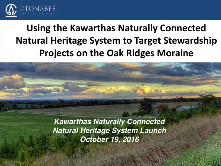
Using the Kawarthas Naturally Connected Natural Heritage System to Target Stewardship Projects on the Oak Ridges Moraine Kawarthas Naturally Connected Natural Heritage System Launch October 19, 2016 1 ORCA Otonabee Conservation is one of
1
2
3
4
5
6
7
8
9
10
11
12
13
14
15
16
17
18
19
20
21
22
23