
SLIDE 1
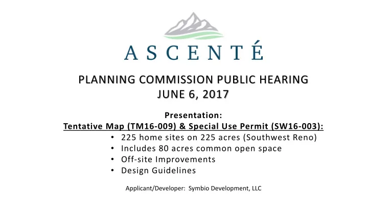
PLANNING COMMISSION PUBLIC HEARING JUNE 6, 2017
Presentation: Tentative Map (TM16-009) & Special Use Permit (SW16-003):
- 225 home sites on 225 acres (Southwest Reno)
- Includes 80 acres common open space
- Off-site Improvements
- Design Guidelines
Applicant/Developer: Symbio Development, LLC