
SLIDE 1
ntpc.com |
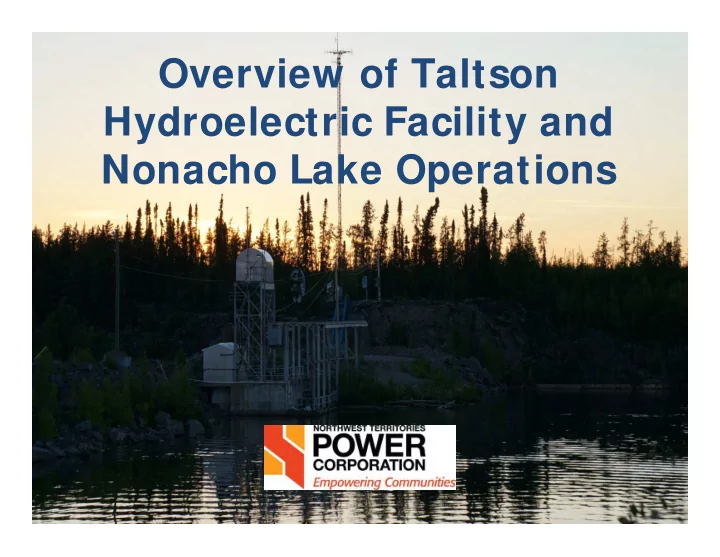
Overview of Taltson Hydroelectric Facility and Nonacho Lake - - PowerPoint PPT Presentation
Overview of Taltson Hydroelectric Facility and Nonacho Lake Operations ntpc.com | Overview 1. Summary of all the facilities in the Taltson Hydroelectric System Location Operational Overview 2. Detailed outline of operations at
ntpc.com |
ntpc.com |
2
ntpc.com | 3
ntpc.com |
4
ntpc.com |
5
ntpc.com |
6
ntpc.com |
7
ntpc.com |
8
ntpc.com |
9
ntpc.com | 10
ntpc.com | 11
Nonacho Lake Dam Twin Gorges Generating Station and Reservoir
ntpc.com |
12
ntpc.com |
13
ntpc.com |
14
ntpc.com |
15
ntpc.com |
16
ntpc.com |
17
ntpc.com |
18
NTPC Nonacho Operations Log 2010-2017 Year Gate Configuration Operations Taken
2010 One gate open None 2011 One gate open None 2012 One gate open None 2013 One gate open None 2014 One gate open until June 5, all gates closed for remainder of the year One Gate closed on June 5 2015 All gates closed None 2016 All gates closed None
ntpc.com |
19
ntpc.com |
20
ntpc.com |
– Terms of Reference (TOR) for the WEMP were developed in
1999 following consultation with regulators, communities and a workshop with a Community Advisory Committee
21
ntpc.com |
22
ntpc.com |
23
ntpc.com |
24
ntpc.com |
25
ntpc.com |
26
ntpc.com |
27
ntpc.com |
28
ntpc.com |
29
ntpc.com |
30
ntpc.com |
31
ntpc.com |
MV2011L4-0002 NTPC Compensation Claim Re-Hearing Presentation
From: Sean Parker [mailto:sparker@mross.com] Sent: May-11-17 5:08 PM To: Shannon Allerston Cc: Amanda Gauthier; Doug Evanchuk; sheldon@dragontoner.ca; caroline@dragontoner.ca; eolszewski@mltaikins.com Subject: NTPC Presentation for Carter Family Re-Hearing
Good afternoon, Please find attached NTPC’s presentation for the compensation re-hearing, in both powerpoint and pdf. Regards,
Sean D. Parker | Associate | direct 780.482.9309 | toll free 1.800.567.9200 | fax 780.733.9705 McLennan Ross LLP | www.mross.com | BIOGRAPHY 600 McLennan Ross Building, 12220 Stony Plain Road, Edmonton, AB T5N 3Y4
This e-mail may contain confidential information and be subject to solicitor-client privilege. If received in error, please delete and advise sender. Thank you.McLennan Ross LLP would like the opportunity to send you invitations and legal updates electronically. To give us permission please click here.