
SLIDE 1
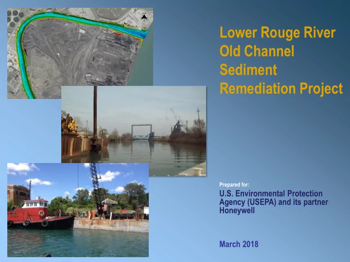
Lower Rouge River Old Channel Sediment Remediation Project
March 2018
Prepared for:
U.S. Environmental Protection Agency (USEPA) and its partner Honeywell
Old Channel Sediment Remediation Project Prepared for: U.S. - - PowerPoint PPT Presentation
Lower Rouge River Old Channel Sediment Remediation Project Prepared for: U.S. Environmental Protection Agency (USEPA) and its partner Honeywell March 2018 Roles and Responsibilities Project Partners U.S. Environmental Honeywell
March 2018
Prepared for:
U.S. Environmental Protection Agency (USEPA) and its partner Honeywell
U.S. Environmental Protection Agency
EA Engineering, Science, and Technology, Inc., PBC
Anchor QEA
Wood Group
USACE – Detroit District Office of the Great Lakes Michigan Department of Environmental Quality
Project Partners
Coordinating Agencies Consultant Consultants
LOWER ROUGE RIVER OLD CHANNEL
gasoline and petroleum products
(photo credit: DTE Energy)
as needed
CAPPING DREDGING DREDGING PERMANENT SHORELINE STABILIZATION TEMPORARY STABILIZATION CAPPING TEMPORARY STABILIZATION STAGING AREAS
material across 10 acres to target areas of contamination
CDF
intake and one other location to avoid deep dredging near structures
construction
SITE OF DREDGING CDF
2 MI
PERMANENT BULKHEAD SLOT DREDGING SLOT DREDGING TEMPORARY STABILIZATION TEMPORARY STABILIZATION TEMPORARY STABILIZATION
wall to encroach on Medina Street
Medina Street
feet
City of Detroit & Detroit Economic Growth Corporation
submitted.
and provide access to residences
Mobilization Spring 2018 Permanent Wall Construction Spring 2018-Winter 2018 (December) Dredging and Capping Spring 2019-Winter 2019 (December) Site Restoration Winter 2019- Spring 2020 Demobilization Spring 2020
point of dredging