notes
play

Notes: GIS Applications in Fire Ecology & Management Lesson 6 - PDF document

NR406 Notes: GIS Applications in Fire Ecology & Management Lesson 6 Rem ote Sensing Estim ate of Fire Severity NR406: GIS Applications in Fire Ecology and Management Notes: Burned Area Reflectance Classification ( BARC) Burned Area


  1. NR406 Notes: GIS Applications in Fire Ecology & Management Lesson 6 Rem ote Sensing Estim ate of Fire Severity NR406: GIS Applications in Fire Ecology and Management Notes: Burned Area Reflectance Classification ( BARC) Burned Area Reflectance Classification ( BARC) The Burned Area Reflectance Classification (BARC) 
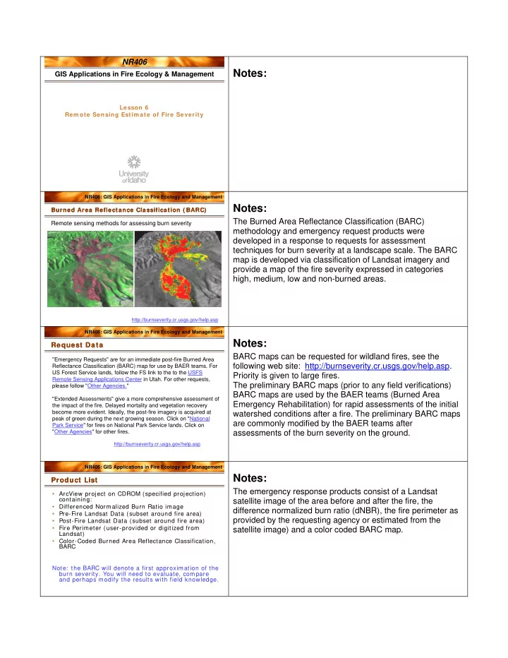
Remote sensing methods for assessing burn severity methodology and emergency request products were developed in a response to requests for assessment techniques for burn severity at a landscape scale. The BARC map is developed via classification of Landsat imagery and provide a map of the fire severity expressed in categories high, medium, low and non-burned areas. http://burnseverity.cr.usgs.gov/help.asp NR406: GIS Applications in Fire Ecology and Management Notes: Request Data Request Data BARC maps can be requested for wildland fires, see the "Emergency Requests" are for an immediate post-fire Burned Area following web site: http://burnseverity.cr.usgs.gov/help.asp. Reflectance Classification (BARC) map for use by BAER teams. For US Forest Service lands, follow the FS link to the to the USFS Priority is given to large fires. Remote Sensing Applications Center in Utah. For other requests, The preliminary BARC maps (prior to any field verifications) please follow "Other Agencies." BARC maps are used by the BAER teams (Burned Area "Extended Assessments" give a more comprehensive assessment of Emergency Rehabilitation) for rapid assessments of the initial the impact of the fire. Delayed mortality and vegetation recovery become more evident. Ideally, the post-fire imagery is acquired at watershed conditions after a fire. The preliminary BARC maps peak of green during the next growing season. Click on "National are commonly modified by the BAER teams after Park Service" for fires on National Park Service lands. Click on "Other Agencies" for other fires. assessments of the burn severity on the ground. http://burnseverity.cr.usgs.gov/help.asp NR406: GIS Applications in Fire Ecology and Management Notes: Product List Product List The emergency response products consist of a Landsat • ArcView project on CDROM (specified projection) containing: satellite image of the area before and after the fire, the • Differenced Normalized Burn Ratio image difference normalized burn ratio (dNBR), the fire perimeter as • Pre-Fire Landsat Data (subset around fire area) provided by the requesting agency or estimated from the • Post-Fire Landsat Data (subset around fire area) • Fire Perimeter (user-provided or digitized from satellite image) and a color coded BARC map. Landsat) • Color-Coded Burned Area Reflectance Classification, BARC Note: the BARC will denote a first approximation of the burn severity. You will need to evaluate, compare and perhaps modify the results with field knowledge.

  2. NR406: GIS Applications in Fire Ecology and Management Landsat 7 Landsat 7 Notes: Here is a Landsat 7 image of the area before the Maloney Creek fire on Craig Mountain in August year 2000. This image is displayed in the False Color Infrared color combination where the green vegetation is displayed in the red color-gun and therefore looks red. Landsat 7 Path 42 row 28 July 27, 2000 NR406: GIS Applications in Fire Ecology and Management Notes: Landsat 7 Landsat 7 This Landsat image was taken after the fire. Landsat 7 Path 42 row 28 August 28, 2000 NR406: GIS Applications in Fire Ecology and Management Notes: Electrom agnetic Spectrum Electrom agnetic Spectrum Remember the electromagnetic spectrum? This graphic shows the wavelengths for radiation along the electromagnetic spectrum. Ultraviolet radiation has a shorter wavelength than visible radiation which has a shorter wavelength than near infrared and so on. NR406: GIS Applications in Fire Ecology and Management Notes: Landsat Satellite Sensor Landsat Satellite Sensor The Landsat satellite sensor records images from the blue to the mid infrared. In this graph you can see the corresponding wavelength for each Landsat band. Band 1 – blue Band 2 – green Band 3 – red Band 4 – near infraded Band 5 – mid infraded Band 6 – Thermal (not displayed in the graph) Band 7 – mid infrared The graph also shows the reflectance for different substances (sandstone, green vegetation, limestone, shale) along the electromagnetic spectrum. Notice the low reflectance for

  3. green vegetation in band 1, 2, 3 and the high reflectance in the near infrared. The reflectance for green vegetation in band 7 is also relatively low. The reflectance for soil is higher than for green vegetation in band 7. NR406: GIS Applications in Fire Ecology and Management Notes: I m age pre-processing I m age pre-processing A few steps of image pre-processing is necessary before the • conversion of DN to reflectance values Landsat images can be classified into NBR and BARC maps. • geometric correction These steps include conversion of the digital numbers in the (assign a coordinate system to the image) raw image to reflectance values, geometric correction • atmospheric correction if necessary (georeferenceing), and in some cases atmospheric correction. NR406: GIS Applications in Fire Ecology and Management Notes: Norm alized Burn Ratio ( NBR) Norm alized Burn Ratio ( NBR) The NBR index is computed by subtracting the reflectance A Landsat TM Radiometric Measure of Burn Severity value in Landsat band 7 and band 4 and then dividing by the sum of band 7 and 4. Band 4 is selected because of the high reflectance of green vegetation in the near infraded (Landsat band 4) and band 7 is selected because bare soil reflects NBR = (R4 – R7) / (R4 + R7) highly in this part of the electromagnetic spectrum. http://nrmsc.usgs.gov/research/ndbr.htm NR406: GIS Applications in Fire Ecology and Management Notes: Craig Mountain area before and after the Maloney Creek Fire Craig Mountain area before and after the Maloney Creek Fire The Landsat sensor provides an image every 16 days for any July 27, 2000 August 28, 2000 area of the world. The emergency response products changes through time as the burned area begins to recover and green vegetation returns to the area. There are two standard products 1) the IMMEDIATE assessment where the images immediate before and after the fire are used to compute NBR, 2) the EXTENDED assessment where the after-the-fire image is taken one year after fire. The EXTENDED assessment includes information about ecosystem recovery potential and delayed mortality.

Download Presentation
Download Policy: The content available on the website is offered to you 'AS IS' for your personal information and use only. It cannot be commercialized, licensed, or distributed on other websites without prior consent from the author. To download a presentation, simply click this link. If you encounter any difficulties during the download process, it's possible that the publisher has removed the file from their server.

Recommend


More recommend