
SLIDE 1
NOMINATING THE
- ST. LOUIS RIVER CORRIDOR TO THE
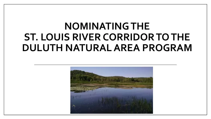
NOMINATING THE ST. LOUIS RIVER CORRIDOR TO THE DULUTH NATURAL AREA - - PowerPoint PPT Presentation
NOMINATING THE ST. LOUIS RIVER CORRIDOR TO THE DULUTH NATURAL AREA PROGRAM Governing Principles for Open Space Duluths Comprehensive Plan updated 2018 Declare the necessity and secure the future of undeveloped places Reinforce
St Louis River National Water Trail (designation pending) Western Waterfront Trail Extension Plan
Duluth Natural Area Criteria Survey and Data Findings Significant native plant communities 17 distinct (e.g., Lake Superior estuary marsh) Special species 3 plants; 52 birds Important bird congregation areas Thousands of birds migrating and nesting Natural water features 4 state designated trout streams and the estuary Geologic landforms Backwater bays indicative of ancient drowned river mouths that once flowed into Glacial Lake Duluth.
Community Grouping Percent of Project Areas Description Forested Upland 30.4% Dominated by aspen, basswood, birch, white cedar, and oak Forested Wetland 11.7% Shallow water table, dominated by ash, balsam poplar, and white cedar Shrub and Open Wetland 42% Shallow water table to inundation with surface water, water-loving shrubs / herbaceous plants Sparse-Vegetated Upland 0.7% Cliffs and talus slopes and rocky shorelines, patchy trees and shrubs
Superior) - MRu94a
similar native marsh communities in inland settings
the largest area of this community in the state
natural area
A Excellent ecological integrity. Little disturbed by recent human activity or invasive species. 7 A/B 2 B Good ecological integrity. Lightly disturbed or recovered from past
54 B/C 1 C Fair ecological integrity. Strong evidence of human disturbance, but retain some characteristic species. 33 C/D 2 D Poor ecological integrity. Severely altered by human disturbance or invasive species. 1
Spotted Sandpiper photo credit: Steve Kolbe
American Bittern photo credit: Steve Kolbe
undergone one of the sharpest and most mystifying recent declines of any North American songbird
the last 21 years.
Rust Blackbird photo credit: Cornell Ornithology
Guild Description DNAP Criteria Met
Waterfowl Highly adapted to living on the surface of the water. Shorebirds Wet or coastal environments; most species commonly found wading along shorelines while foraging for food in mud or sand. Waterbirds On or around water; special adaptations such as webbed feet, bills and legs adapted to feed in water; ability to dive from the surface or the air to catch prey in water. Raptors “Birds of Prey”; primarily hunt and feed on vertebrates.
Not well assessed by survey methods
Wading Birds Wading birds while foraging. Migratory Landbirds Refers largely to passerines or perching birds.
Kingsbury Grassy Point Munger Landing Tallus Island Mud Lake Radio Tower Bay North Bay Rask Bay
Chambers Grove