New York City GIS Utility Why GIS For NYC Data is key to using - - PowerPoint PPT Presentation
New York City GIS Utility Why GIS For NYC Data is key to using information technology Almost all data has a geographic component Velcro: Address, Parcel, Building # connect data NYC has 50 agencies all using geodata Each
Why GIS For NYC
- Data is key to using information technology
- Almost all data has a geographic component
- Velcro: Address, Parcel, Building # connect
data
- NYC has 50 agencies all using geodata
- Each agency with dozens of databases
- Three unaligned digital maps: $30 M
Data Discrepancies:
Problems using Multi-Datasets
♦ Mismatching Data- Data DO NOT Line- Up ♦Crisscrossing LION, Administrative Blocks (COGIS), &
- Ortho. CL Photos.
Modern History of GIS in NYC
- 1995: Agreement to create basemap
- 1996: Aerial photography flown
- 1997: Compilation of basemap begins
- 1999: Basemap completed
- 2000: Creation of Citywide GIS Utility
- 2000 - present: Implementation
Ortho Photos for the City
Current Planimetric Data Coverages
Who We Learned From
- Seattle
- Philadelphia
- Nassau County
- Dade County
- San Diego
- Hennepin County
- Ft Worth
- Scottsdale
Who We Learned From
- Public Technology Inc.
- FGDC (Framework Layers)
- Plangraphics, ESRI, Oracle, Smallworld,
MapInfo, Integraph, Compaq, IBM, HP, etc.
- LLGIS
- Urban Logic
- OGC
Investment
- $45 Million to date
– Watermain layer, basemap, parcel, street ctr
- $25 Million in planning
– Sewer, building # ID, routing db, applications
Major Applications
- NYPD Comstat to Reduce Crime
- OEM EMOLS: Hurricane, Heat Emerg.
- Capital planning and coordination
- CAD dispatch support
- West Nile Fever and other Health apps
- E-Gov Applications
- Field inspections, vehicle routing, etc.
CompStat
September 11th: The EMDC
- 20 GIS Workstation and 6 Plotters
- 50 GIS Operators working 24x7
- 6 Coordinated GIS Units: NYC OEM,
FDNY, FEMA, DOD, State Semo, Hunter
- 2,600 requests, 75 agencies supported
- 8 web maps and 1 interactive application
- Also BT response and AA crash response
Major Operational Components
- Map and Data Requests
- Deep Infrastructure
- Internet Map Production
- Field Computing With GPS
- USAR/NYFD Field Mapping
- Remote Sensing
- Mayor’s Briefing
Creating the EMDC
Volunteers from NYC’s GIS community join the EMDC staff to relieve (exhausted) City and consultant staff
AKRF, American Museum of Natural History, Baker Engineering, Columbia University, Community Cartography, Davis Associates, Hunter College, Malcolm Pirnie, NYPIRG, Parsons, Rockland County, SpaceTrack, Urban Logic, US Census Bureau, Verizon, Westchester County . . . . And many individuals
Creating the EMDC
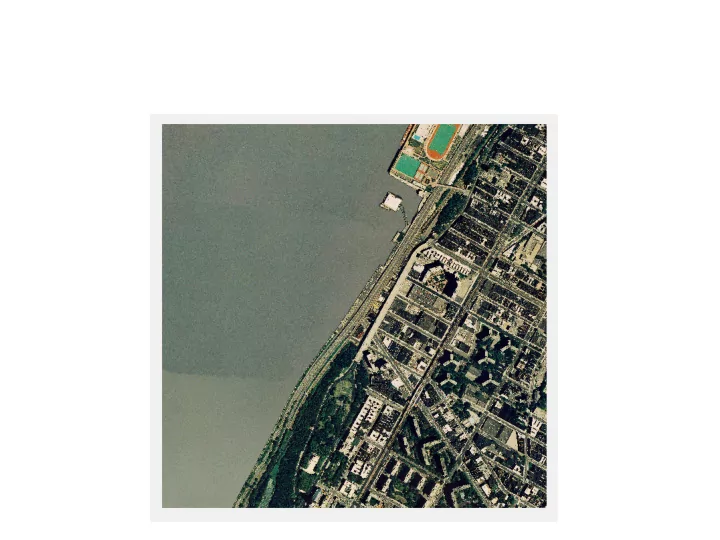
Map Production at the EMDC
Top Users
- NYPD:
313 requests
- NYC OEM:
266 requests
- US Army and Guard:
121 requests
- FEMA:
106 requests
- Port Authority:
90 requests
- Coast Guard:
69 requests
- FDNY:
58 requests
Requests By Week
- Week 1:
99 requests
- Week 2:
973 requests
- Week 3:
627 requests
- Week 4:
365 requests
- Week 5:
129 requests
- Week 6:
138 requests
- Week 7:
59 requests
EOC Maps
EMOLS Application
Technologies Used
LIDAR Imagery
EOC Maps
Safety Area
EOC Maps
Utility Outages
EOC Maps
Subway Service Updates
EOC Maps
Three Dimensional Visualization
Urban Data Solutions
EOC Maps
Recconnaissance Photos
US Navy Combat Camera Crew
Examples Of Collaboration
- Military Units guarding vital facilities
– detailed mapping needs
- FEMA USAR and Mapping Teams
– NYC basemap plus their know-how
- State photos, Federal thermals, NYC
basemap, State fuel tank and freon data
EOC Maps
Thermal Infrared and Digital Orthophotos
Problems and Issues
- Building inspections: 6 inspecting agencies
– $70 versus $2 for Building # ID
- Environmental Testing
– Clashing data and collection techniques
- Offer to sell vital infrastructure data
– Cost: $100K’s – Not registered to NYC basemap
Special Projects
BIN Numbers
Matching Building Identification Numbers with Building Footprints Enables using tabular databases of inspection reports to thematically map structural damage around Ground Zero Requires verification using multiple sources including COGIS, GeoSupport, Sanborn maps, and sometimes field verification. BIN matching for Manhattan, south of Canal Street begins – will take 4+ weeks to complete and pass QA. BIN matching for midtown Manhattan begun in mid-October. Methodology developed at EOC will be applied to a citywide BIN matching project that is on-going at Hunter College.
Major Lessons Learned
- Everyone Must Contribute Their Strengths
– Local, State, Federal, Utilities, NGOs, etc.
- Everything Created Beforehand Proved
Essential: What Wasn’t Hurt
- In Importance, Information Resources Were
Second Only To The Courage Of First Responders and To Mature Leadership
Things To Do
- Register ID’s to building footprints
- Build traffic routing DB
- Acquire mobile data centers with telecom
- Pre-arrange For aerial photography
- Implement wireless, field units with GPS
- “Deep” Infrastructure modeling capacity
Things To Do
- Strategic data survey
- Examine options for preparing communities
- Improve data liaison at EOC
- Work collaborative with media
- Table Top and simulation exercises
- Create I-Team regional databases
Beyond New York City
- Let’s Really Collaborate
- Establish a National GIS Website
- I-Teams As Lego Pieces For NSDI
- Local Data plus Federal Technology,
Standards and Architecture
- Build Local Government Capacity