
SLIDE 1
Netherlands Subjects 1. Wildfires in the Netherlands? 2. National - - PowerPoint PPT Presentation
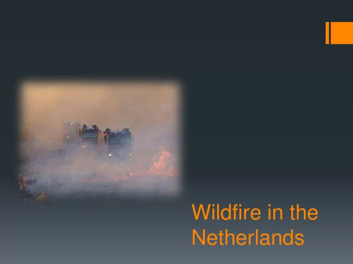
Wildfire in the Netherlands Subjects 1. Wildfires in the Netherlands? 2. National programme; 3. Spreadmodel; 4. Research; 5. Results. 21th century: less maintenance of pine woods Forest areas are less maintained, less accessible, made
Forest area’s are less maintained, less accessible, made attractive and exciting for public and also wildlife and ecological stimulation, heat area’s are grass covered, and dry grass burns easily
Properties of forest, heat and other natural area’s
Properties of forest, heat and other natural area’s
General overview of forest, heat and other wild area’s
Red dots: campings Red square: detailed map
40 km
Land use of natural area: intensive recreation, housing, health care, lines of transportation, sport
Properties of forest, heat and other natural area’s
Properties of forest, heat and other natural area’s
Wildland Urban Interface (WUI)
Governmental response to recent large wildfires; Innovations…
PILLAR 1 WILDFIREPREVENTION
National program on Wildfiremanagement in the Netherlands
PILLAR 2 MULTIDISCIPLINE CRISIS MANAGEMENT
Dynamic risk- Indexmap wildfires Risk- communication Wildfire thermometer Alerting model wildfire behaviour- modelling
Safety regions measurement data
vision, capacity analyse input on demand
+
Fire brigade:
medic, police, army, community contractors, terrain-owners
Crisis- communication Research on cause
Large scale Evacuation Expertise centre
21-8-2012
CRISIS- AFTHERMATH
CBS- Statistic
Protection Vital infra
Topic 3: (SCIENTIFIC) RESEARCH
Data Info- analysis Spatial Development Base course wildfire
Wilfdire safe community Region based approach
Damage and repair
Calculation for the spread patern
Data
and fuell models;
Research Center USA);
situation;
regions during large scaled exercises and during prescribed burnings.
Scenario’s Demo’s in the field
Static model
Recalculation within a few minutes real time
Dynamic model
Bron: Google earth aangepast door Natuurbrandonderzoekteam
Research in the field for collecting data
Recalculation
testing different types of wildfires, point, lines and polygon
Narekenen middels verspreidingsmodel. Natuurbrand Onderzoekteam
Basic model to be developed for the field
Innovations…
EO data
fuell models;
vegetation.
ester.stalenhoef@nifv.nl joris.kroon@dgv.minvenj.nl