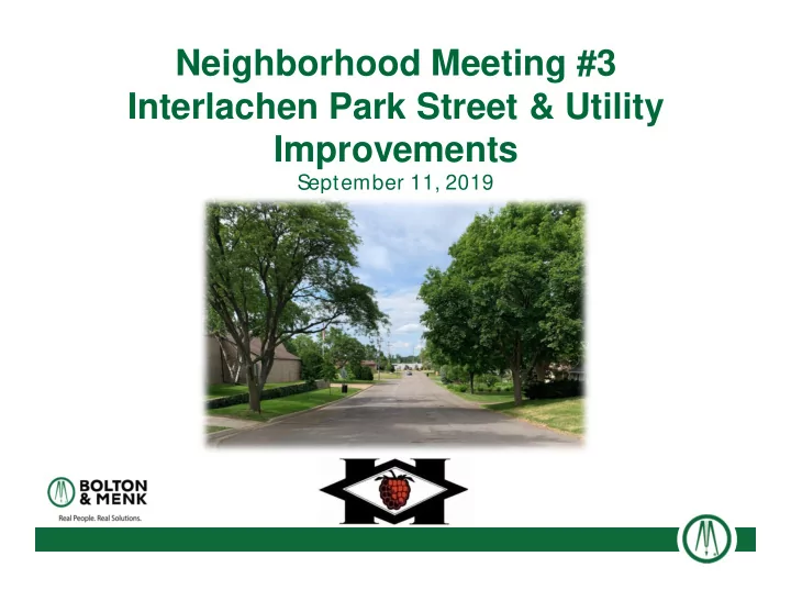
SLIDE 1
Neighborhood Meeting #3 Interlachen Park Street & Utility Improvements
September 11, 2019
SLIDE 2
Project Area
SLIDE 3
SLIDE 4
Existing Pavement Conditions
SLIDE 5 Project Development Process
Current Step - Feasibility Stage
- Scope of Street & Utility Improvements
- Preliminary Design Layouts & Identify Constraints
- Identify General Impacts
- Preliminary Estimated Costs
- Preliminary Proposed Assessments
Next Steps - Final Design & Bidding
- Develop Plans for Construction
- Identify Detailed Impacts to Properties – Construction Limits
- Final Estimated Costs
- Final Proposed Assessments - Amounts
SLIDE 6 Resident Questionnaires Summary
123 Responses of 289 Properties – 42%
46% of responses reported poor drainage
- At intersections
- In the street
- In front yards and backyards
- At driveways
SLIDE 7
Drainage Issues
SLIDE 8 Resident Questionnaires Summary
Pedestrian facility responses
- 60% did not support sidewalks
- 9% support sidewalks within neighborhood
- 13% support pedestrian improvements along Blake, Excelsior,
- r M eadowbrook
Low volume roadways within neighborhood
- No sidewalks are proposed within the neighborhood at this
time
- 8’ trail proposed along the east side of Meadowbrook Rd (along
M eadowbrook Golf Course)
SLIDE 9 Resident Questionnaires Summary
Irrigation systems and invisible fences reported
- Identified on over half of returned questionnaires
Irrigation systems and invisible fences will be protected or repaired/ replaced as part of the project
- Questionnaire responses will help the project team identify
how many potential repairs we will have and will provide an
- pportunity to protect the systems
SLIDE 10 Resident Questionnaires Summary Concrete Curb & Gutter
- Curb and gutter is the most cost-effective
way of extending roadway life
- Improved drainage
- Solid edge for asphalt pavement
- Keeps water out of the subgrade
- Curb and gutter reduces maintenance
costs and improves efficiency in snow removal operations
- City policy is to install curb and gutter on
all reconstructed roadways (Legislative Policy 8.02)
SLIDE 11
Reconstructed Street Examples
SLIDE 12 Proposed Street Widths
Street widths will generally remain the same or slightly narrowed to minimize impacts to yards and trees
- Back of curb will be near the existing pavement edge
- Existing pavement widths vary and reconstructed widths will be
consistent
Streets will generally be lowered to:
- Account for the addition of curb and gutter
- Improve drainage in front yards and driveways
SLIDE 13
Sanitary Sewer Improvements
SLIDE 14
Watermain Improvements
SLIDE 15
Service Line Replacement
· Water & sewer services to be replaced from City’s main (in
the street) to the right-of-way property line, about 10’-15’ from the edge of road
Full Service Owned by Property
SLIDE 16 Boulevard Trees
Trees may be removed for one of the following reasons:
- Susceptible to disease or invasive species – Ash trees
- Poor condition – dead, dying, leaning, etc.
- Conflict with utilities (sewer and water lines)
- Conflict with road construction or grading
On average, 4 boulevard trees per block are estimated for removal
Source: extension.umn.edu/tree-and-shrub-insects/emerald-ash-borers
SLIDE 17 Boulevard Trees Questionnaires
Tree questionnaires sent to residents to gain additional information on existing boulevard trees
- 64 responses so far and project team will continue to collect
questionnaires
- Information collected includes treatment of trees and desire to
save or remove certain trees
- Process has resulted in 34 fewer tree removals from what was
presented at the first neighborhood meeting in June
- The goal is to minimize the total number of tree removals as
much as possible
SLIDE 18
Project Budget and Costs
SLIDE 19
Project Budget and Costs
SLIDE 20 Special Assessment Calculation
- Streets (Street Assessment)
- 70% of the total street improvement cost
- Front foot or area methods
- Front foot rate subject to cap
- Utility Mains
- No Assessments
- Utility Services (Utility Assessment)
- 50% of as-bid, actual service costs
- Total Assessment = Utility Assessment + Street Assessment
SLIDE 21 Assessment Caps
- 2019 Front Foot Rate Cap
- $94.31 / front foot
- Front Footage Cap
- Front footage counted up to 125 feet
- Benefit Appraisals
SLIDE 22 Summary of Preliminary Assessments
- 294 total properties to be assessed
- Assessments range from $1,800 to $15,189
- Non-residential amounts to be confirmed with benefit
appraisals
- 232 ‘typical’ single family residential lots to be assessed
- Full reconstruct with new utility services
- $7,177 to $15,189 (including utility assessments)
- 11 ‘dead end’ single family residential lots to be assessed
- Area method used to uniformly obtain front frontage
- $8,865 to $15,189 (including utility assessments)
SLIDE 23 Summary of Preliminary Assessments
- 33 residential lots to be assessed for utility services only
- South block of Holly and west block of Preston
- Streets reconstructed and assessed in 1998
- Sewer = $1,600; Water = $1,800
- $3,400 Total Utility Service Assessment
- 11 Blake Rd residential lots to be assessed for water only
- Access is directly from Blake – work on Blake due to only
watermain
- $1,800 water service assessment
SLIDE 24
Assessment M ethods: M apped
SLIDE 25
Assessment Amounts: M apped
SLIDE 26 Assessments: Summary of Payment Options
1. Prepay in full or part without interest until J une 26* , 2020 2. Prepay in full or part with interest until Nov. 27* , 2020 3. Do nothing -- Remaining balance put on taxes after Nov. 27*
- Paid annually over 15 years, interest rate of about 5%*
- Will impact escrow payments included in mortgage
4. Deferred Assessments – Pay at a later date
- Homestead property, income limit of approx. $40,000
- Owner 65 years or more, active military, or disability
- Typically paid in full at exchange of property
* Dates & interest rate are tentative, to be confirmed in M arch
SLIDE 27 Project Schedule (2019 - 2020)
- September 11, 2019 – Neighborhood M eeting 3
- September 17, 2019 – City Council M eeting
- Conduct public improvement hearing
- Considers ordering final plans
- J
anuary 7, 2020 – City Council approve plans & authorize bids
- February 6, 2020 – Open Bids
SLIDE 28 Project Schedule (2020)
- February 18 – City Council orders assessment hearing
- M arch 4-11 (Date TBD) – Neighborhood M eeting 4
- Review final assessments, final plans, collect input
- M arch 17 – City Council M eeting
- Conduct public hearing on assessments
- Consider adopting assessments, awarding contract
- April 2020 to November 2021 – Construction
- Phased construction process over 2 summers
SLIDE 29
Phasing Plan/ Construction Schedule
SLIDE 30 Project Communication
- Bolton & Menk Project Website
- www.Hopkins-Interlachen.com
SLIDE 31 Project Contacts
Nick Amatuccio, P.E. – Project Engineer
- nickam@bolton-menk.com; 612-965-3926
M ike Waltman, P.E. – Project M anager
- mikewa@bolton-menk.com; 612-221-6946
Eric Klingbeil, P.E. – Hopkins Assistant City Engineer
- eklingbeil@hopkinsmn.com; 952-548-6357
SLIDE 32 Open House
1. Communications – Email notification sign-up 2. Utilities & Construction Specifics
- What’s Under My Street?
- Construction Phasing Plan
- Drainage Concerns
- Street Widths
3. Proposed Improvements: East Half 4. Proposed Improvements: West Half 5. Assessments