
SLIDE 1
Name of material: Landforms Image(s): Photo(s) courtesy of - - PDF document
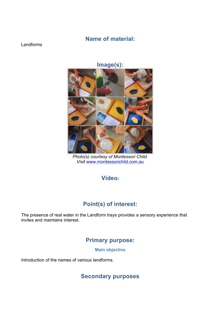
Name of material: Landforms Image(s): Photo(s) courtesy of Montessori Child. Visit www.montessorichild.com.au Video : Point(s) of interest: The presence of real water in the Landform trays provides a sensory experience that invites and