
SLIDE 1
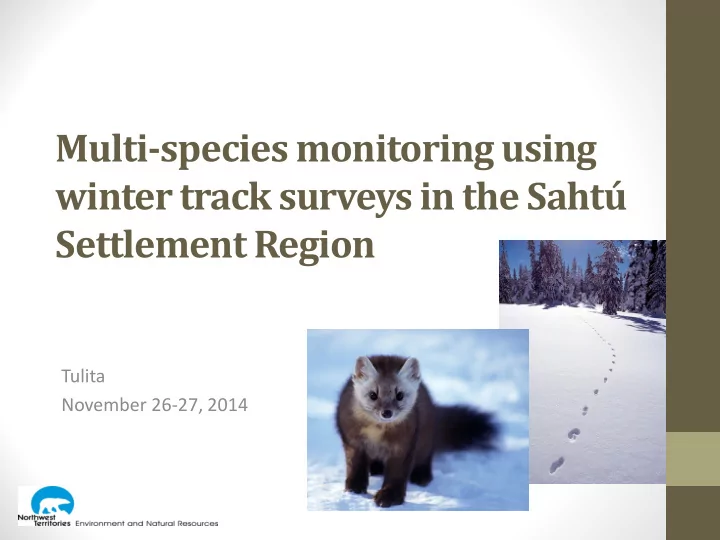
Multi-species monitoring using winter track surveys in the Sahtú Settlement Region
Tulita November 26-27, 2014
Multi-species monitoring using winter track surveys in the Saht - - PowerPoint PPT Presentation
Multi-species monitoring using winter track surveys in the Saht Settlement Region Tulita November 26-27, 2014 Day 1 - Agenda Introductions Overview of CIMP funding proposal Discussion of objectives, questions and hypotheses
Tulita November 26-27, 2014
coordinate?
2
Environment and Natural Resources (ENR)
reporting of information related to environmental conditions in the NWT
the cumulative impacts of human activities on the environment.
3
Why did we apply?
4
(Image: ConocoPhillips)
(Image: Husky Ltd.)
survey
encountered – contribute to genetic studies
and other signs left by wildlife
used to develop standard methodology
5
monitoring program that involves communities, industry and government
trend
multiple species
disturbance on boreal caribou and other wildlife species
6
monitoring for boreal caribou population trends and those human and natural factors that affect them
functional again for boreal caribou
boreal caribou demographics and/or habitat:
7
Explor, MGM
8
9
mobile along seismic lines and trails
encountered
ABMI/Fiera
10
along existing trails
present
Whittington et al. 2014 Whittington and Heuer 2012
11
12
13
14
15
16
10 3 2 6 8 5 1 10 4 3 7
area
17
Northern Rockies Conservation Cooperative
18
19
Community Monitors Community monitoring coordinator Program coordination
GNWT-ENR + SRRB Tulita
1 2
Norman Wells
1 2
Deline
1 2
Fort Good Hope
1 2
Colville Lake
1 2
sampling methods as possible
protocols:
together
that we can use in the Sahtu
and sampling effort required to detect changes of interest
20
year allows us to assess whether there are changes in presence and abundance over time
route more than once per winter allows us to assess whether a species was present in the area but we just missed it:
more confidence in detected trends
detection on each segment improves precision for estimates of detection probability and occupancy
21
Year 1
manual Year 2-3 and beyond
management, land use planning, environmental assessment, cumulative effects management and assessment
22
design, survey methods, and survey route identification
methodology, logistics, costs, annual budget, and deliverables
manual and track identification guide for monitors
23
24 Activity Budget Community workshop for program design $17,000 Pilot tests (field trials) $22,000 Technical report - survey design, power analysis, methodology, logistics, costs, annual budget, and deliverables $10,000 Plain-language summary of draft study design, field protocol manual and track identification guide $10,000 Total $59,000
program:
community; 10 survey days conducted by each monitor
monitor
25 Activity Budget Pre-field season community meeting and training sessions – 5 communities $20,000 Field season – surveys + coordination $30,000 Fall results workshop – held in one community, rotating basis $10,000 Total $60,000
What do we want to achieve through this program?
multiple wildlife species
distribution and landscape disturbance (fire + human)
26
What questions do we want to answer with the data?
habitat?
together or more commonly found in one habitat type versus another?
27
What kind of changes or patterns do we think are already
Examples
activity
28
29
evenly spaced monitoring sites
every five years
Cumulative effects monitoring program targeted at “detecting the ecological effects of a diverse set of environmental stresses on broad suites of indicators”
http://www.abmi.ca/abmi/home/home.jsp 30
snowmobile or foot
long
when ID is uncertain
31
is passable, then work backwards
cover, snow conditions (powder, wet, crust)
1 m of the transect
heard
32
33
mobile
encountered
encounters
34
35
36
What species are we likely to see?
and being able to cover a large area each day
Track encounter rates recorded by Husky in EL 462/463:
37 Species Mean # tracks/km/day Max # tracks/km Snowshoe hare 10.32 56.73 Lynx 0.32 3.53 Marten 0.52 2.03 Wolverine 0.02 1 Moose 0.23 1.53 Caribou 0.04
exact number of animals hard to determine
end point?)
38
excellent resources about this! (http://fieraconsulting.ca/?p=307)
39
40
41
we see different tracks?
42
provides a visual library for training new monitors, quality control
easily identifiable species
to DNA studies – would need to carry kits
additional notes about observations?
record?
43
44 End Start
route #, waypoint
measurements
necessary)
waypoint
log
are right
coordinator at the end of each survey
(safety)
the data on maps (e.g. Google Earth)
45
tracks)
46
monitors
47
notebook
include base maps for navigation
48
49
associated it with species and other info
50
51
52
1
54
Tool Cost Portability Ease of Use Reliability Durability Notebook, camera + GPS GPS w/ integrated camera Camera w/ integrated GPS Smartphone Rugged Handheld Computer 55
56
57 Activity CIMP ENR Total Community workshop for program design $6,000 $4,000 $10,000 Pilot tests (field trials) $15,000 $10,000 $25,000 Equipment + data management $15,000 $15,000 Technical report - survey design, power analysis, methodology, logistics, costs, annual budget, and deliverables $10,000 $10,000 Plain-language summary of draft study design, field protocol manual and track identification guide $10,000 $10,000 Sahtu Results Workshop $5,000 $5,000 Other (e.g. Admin fees) $3,000 $1,000 $4,000 Total $59,000 $20,000 $79,000
mobile maintenance
team
58
confidential?
59
Decisions
Next Steps
60
61