
SLIDE 1
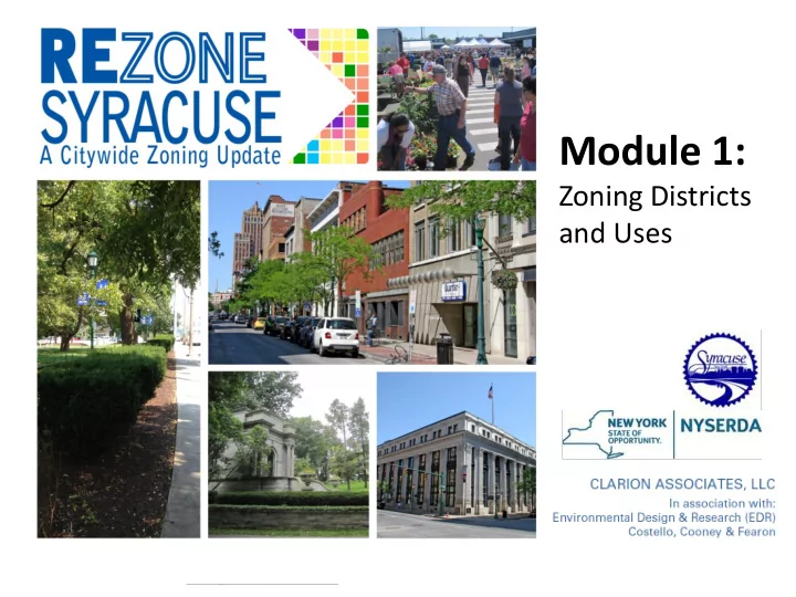
Module 1: Zoning Districts and Uses Project Goals Protect and - - PowerPoint PPT Presentation
Module 1: Zoning Districts and Uses Project Goals Protect and enhance the character and "sense of place" of Syracuse's neighborhoods Ensure high-quality, attractive design throughout the City Promote environmentally
Fall 2015
2016 May 2016 2017 2016/2017 June 2016
Public input Public input Public input Public input
Staff Draft Public Draft Staff Draft Public Draft Staff Draft Public Draft
EARLY 2017 SPRING 2017 Consolidated Draft Adoption Draft SUMMER 2017
– RA-1 and RA-2 – RB-1 and RB-1T – Commercial class A & B – Central business districts (CBD)
– Highway service – James Street and motor vehicle sales
– open space – mixed-use (five districts)
Existing Zoning Ordinance LUDP 2040 Existing Zoning Map
Existing Character Areas Existing Zoning
Draft Proposed Zoning Existing Character Areas
Draft Proposed Zoning Existing Character Areas
Draft Proposed Zoning Existing Zoning