
SLIDE 1
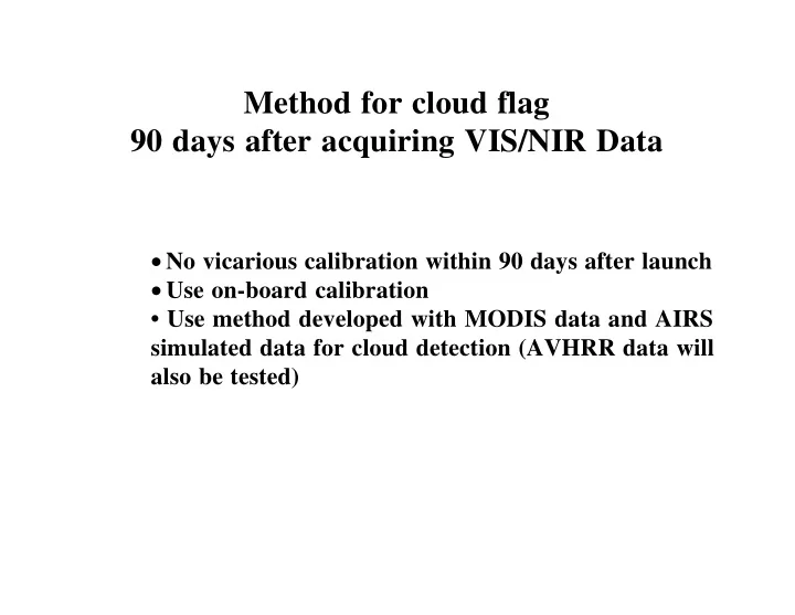
Method for cloud flag 90 days after acquiring VIS/NIR Data
- No vicarious calibration within 90 days after launch
- Use on-board calibration
- Use method developed with MODIS data and AIRS