
SLIDE 1
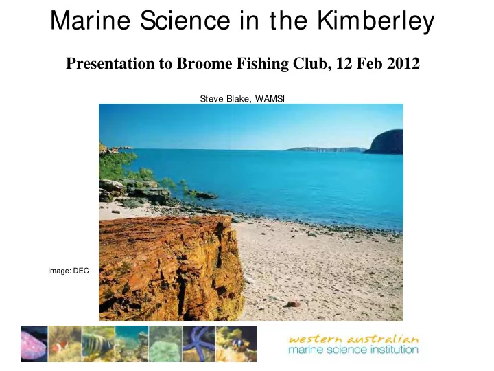
Marine Science in the Kimberley
Presentation to Broome Fishing Club, 12 Feb 2012
Steve Blake, WAMSI
Image: DEC
Marine Science in the Kimberley Presentation to Broome Fishing Club, - - PowerPoint PPT Presentation
Marine Science in the Kimberley Presentation to Broome Fishing Club, 12 Feb 2012 Steve Blake, WAMSI Image: DEC Talk Outline WA marine & coastal context; The Kimberley coast & offshore region; Whats next [2012 2017]?
Steve Blake, WAMSI
Image: DEC
The Leeuwin Current eddy pair seaward of the Leeuwin Current (2003)
Image: CSIRO
Image: WA Fisheries
Kimberley Browse Region
Image: Landgate
Image courtesy of Geoscience Australia
Image: IMCRA
Image: Stuart, 1923
Image: AIMS
Image: B. Wilson
Image: B. Wilson
Image: B. Wilson
Image: DEC
Image: DEC
Example Tri-color scanner data at 2m pixel resolution with NDVI vegetation class/type enhancement in tidal mudflat area, Kimberley region, WA
IMOS Kimberley Mooring Array
Slide: IMOS
Community-based monitoring of Humpback Whales in a very remote place
Figure 3. Cliff top survey location at 16 45.939S 122 36.546E at 30m above MSL at Pender Bay. Caravan
point.
Mean number of whales normalised for viewing effort in 2009, 2010 & 2011
Mean number of whales per month, normalised per viewing effort from the combined 2009, 2010 & 2011 surveys
Mean number of whales normalised per viewing effort [black] and the mean percentage
Thanks to all those people - the Aboriginal Traditional Owners, the scientists, the local people & tourism operators of the Kimberley, who have offered their support, facilities and knowledge in a shared bid and belief to establish a truly independent Regional Marine Science Program for the Kimberley