
SLIDE 1
1
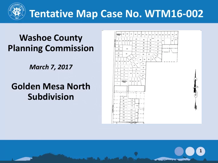
March 7, 2017 Golden Mesa North Subdivision 1 Vicinity Map North - - PowerPoint PPT Presentation
Tentative Map Case No. WTM16-002 Washoe County Planning Commission March 7, 2017 Golden Mesa North Subdivision 1 Vicinity Map North of Golden Valley Road and East of Estates Road 2 Proposed Tentative Map Golden Mesa North: - 115
1
2
3
Golden Mesa North:
zoning
ponds.
BLM property
NV.5.1 The provisions of Washoe County Development Code 408, Common Open Space Development, are not available for implementation in the Golden Valley Suburban Character Management Area.
4
5
The Golden Valley Community is characterized by a generally low-density residential suburban land use pattern. Like Lemmon Valley, the existence of livestock and other animals for recreational, economic and educational purposes is recognized as a significant contributor to the local character. Access to equestrian and multi-use trails is an important component of the local character. The Bureau of Land Management lands to the north and east of Golden Valley provide a backdrop to the community, providing vistas and lands access to public utilized by equestrians and hikers. Because of the location of significant commercial development nearby, commercial land uses are not necessary in Golden Valley and are not
feature contributes to the rural character of this area, and provides runoff to replenish the Golden Valley aquifer.
6
Alice Smith Elementary School Estimated project impact = 32 new Elementary School students Base Capacity = 699 2016-2017 Enrollment = 769 % of Base Capacity = 110% O’Brien Middle School Estimated project impact = 6 new Middle School students Base Capacity = 1,025 2016-2017 Enrollment = 616 % of Base Capacity = 60% North Valleys High School Estimated project impact = 15 new HS students Base Capacity = 1,861 2016-2017 Enrollment = 2,035 % of Base Capacity = 109%
7
8
1 2 3 4 5 6
9
10
Common Area Detention Pond A Detention Pond B Detention Pond C
11
Proposed Lift Station:
12
– Community has a rural feel; roadside ditches are preferred to curb and gutter; – Is property zoned for horses; Future owners should be aware of existing livestock; – Traffic concerns, increase to traffic volumes, 395 is over capacity; – Traffic study incorrect; Golden Valley Road is posted at 35mph not 40mph; – The development should not be accessed from Indian Lane, people will speed; – A zone change and density transfer (as originally discussed) were not welcome here; – Which other agencies were reviewing this request (numerous); – Concerns were raised regarding drainage and flooding; – This will impact Swan Lake which is already flooding; – More community discussion is needed; – Pedestrian and equestrian access is desired; – Schools are overcrowded;
13
Planning Condition: 1(r) The final construction drawings submitted for each final map shall ensure compliance with all design standards enumerated in policies NV.5.1 thru NV.5.8 of the North Valleys Area Plan. Engineering Condition: 2(vv) Development shall account for the increased volume of runoff generated as well as for flood plain storage volumes within the 100-year flood plain. The hydrology report will identify the required volume mitigation to achieve no net increase of water surface elevation within Swan
event, while routing of peak flows shall be based on the 100-year, 24-hour storm event.
14
15
Master Plan and any specific plan;
Facilities Management System;
substantial environmental damage, or substantial and avoidable injury to any endangered plant, wildlife or their habitat;
public health problems;
acquired by the public at large for access through, or use of property within, the proposed subdivision;
provides appropriate secondary access for emergency vehicles;
Plan; and
heating or cooling opportunities in the subdivision.
16
17