1
Planning Commission June 6, 2017 Ascent Subdivision 1 Review - - PowerPoint PPT Presentation
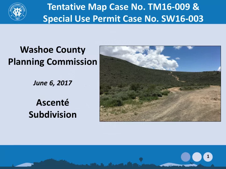
Tentative Map Case No. TM16-009 & Special Use Permit Case No. SW16-003 Washoe County Planning Commission June 6, 2017 Ascent Subdivision 1 Review Process 2 Vicinity Map South of Mt. Rose Hwy East of Callahan Road South of Fawn
2
Review Process
3
Vicinity Map
South of Mt. Rose Hwy East of Callahan Road South of Fawn Lane
4
Proposed Tentative Map
Ascenté:
- 225 residential lots
- 10,120 s.f. min. lot size
- 91,450 s.f. max. lot size
- 24,450 s.f. average lot size
- 225 acres – Project Size
- 80 acres of open space
5
Regulatory Zoning
6
Original vs. Updated Application
Grading* 170 acres disturbance 1.7M cu. yd. cut 1.5 cu. yd. fill 124 acres disturbance 610K cu. yd. cut 521 cu. yd. fill 27% less disturbed area Cut volume: 64% less Fill volume: 65% less *Also reduced max. cut heights by 32% and max. fill heights by 40%
7
- Standards for developers and homeowners
- Protect rural character
- Implement Forest Area Plan policies
- Topics such as:
Design Guidelines
– Fencing – Lighting – Defensible space – Buildable area – Height restrictions – Grading – Walls – Landscaping
8
Landscaping
- Landscaped buffers between project site and
surrounding properties (20-40+ feet in width)
- Tree-lined streets
- Significant common open space
- Pedestrian/equestrian trail system
- Re-vegetation of disturbed areas
- Landscaping to be evaluated by Design Review
Committee
9
Landscaping
10
Trails Plan
11
Trails Plan
12
Forest Character Statement
Minimize negative impacts on the area’s character, Minimize impacts related to light, air, and water pollution, wildlife and wildlife habitat Blending of new development with any existing development. Protect the area’s unique natural resources as well as its scenic and rural heritage. Grading shall complement the original contours of the landscape and minimize disruption to the natural topography
13
Washoe County Schools
Hunsberger Elementary School Estimated project impact = 34 new Elementary School students Base Capacity = 758 2016-2017 Enrollment = 792 % of Base Capacity = 101% Pine Middle School Estimated project impact = 10 new Middle School students Base Capacity = 1,096 2016-2017 Enrollment = 1,020 % of Base Capacity = 93% Galena High School Estimated project impact = 17 new HS students Base Capacity = 1,692 2016-2017 Enrollment = 1,450 % of Base Capacity = 86%
14
- 2,143 Average Daily Trips (ADT)
- 169 AM and 225 PM peak hour trips
- Based on 225 single family dwellings
- Fawn Lane will absorb most of the traffic
- Operating at LOS “C”
- All local streets will carry less than 1,000 ADT and
Fawn Lane will carry less than 2,000 ADT following buildout of the project.
Traffic
15
Roadway Improvements
Traffic calming features on Fawn Lane. Equestrian/pedestrian path along Fawn Lane. An acceleration lane on Mt. Rose Highway at Fawn Lane. School bus waiting area at the Shawna Lane/Millie Lane intersection. Stop signs at the Cherrywood Drive/Cedarwood Drive intersection. Stop sign on the Goldenrod Drive/Cherrywood Drive intersection’s westbound approach
16
- Provided by TMWA
- Dependent on construction of Mt. Rose Water
Treatment Plant
- Recent TMWA improvements have led to significant
reduction in pumping & increase in storage
- TMWA: “net zero impact on groundwater resources”
Water Service
17
- Provided by Washoe County
- Treatment at TMWRF
- 8” gravity sanitary sewer for most of project
- Individual sewer force mains for part of Whitney
Village
- Two lift stations (Sierra Village and Donner Village)
- Lift stations are underground; control cabinet above
Sewer Service
18
- 500,000 gallon water storage tank
- 20-feet tall; 70-feet in diameter
- Slopes limited to 3:1 and revegetated
- Tank color will blend with environment
- Booster pump station within 16-ft-tall, 800-square
feet concrete masonry building
Water Tank and Booster Station
19
Grading
20
Grading
21
Grading
Approximately 610,000 cubic yards of excavation. Maximum cut and fill slopes on site will not exceed a 3:1 slope. Utilize rockery walls not to exceed 10 feet in height. Hydro-seeding (revegetation), temporary irrigation, silt fences, fiber rolls and/or straw matting. Grading will be done in phases. Cut and fill slopes greater than 8 feet in height are prohibited. Utilization of natural contours and slopes. Preservation of Native Vegetation.
22
Drainage and Common Areas
23
Golden Eagle Nest
Applicants will work with NDOW to establish a strategy to pursue regarding the potential eagle nest. Not listed as endangered species No requirements for eagles on private lands Immediate monitoring of this nest is recommended
24
- Community Workshops June 25, 2016 and August 4, 2016
- South Truckee Meadows Washoe Valley Citizen Advisory Board Meetings – November 10,
2016 and May 11, 2017 – Additional traffic on local streets and on Mt. Rose Highway; – Impacts from grading, crushing of rock, extensive blasting, excessive cuts and fills; – Lack of adequate buffering/adjacency; – Will result in increased flooding; – Impacts to schools,; – Impacts to residential wells; – Incomplete geotechnical analysis with a lack of fault information; – Contaminated soils resulting from historic mining in the area; – Need for bonding in the event the project fails; – Prefer connection to Thomas Creek rather than Fawn Lane and Shawna Lane; – Concerns with fire hazards and a lack of adequate emergency access;
Community Meetings
25
Notice Map
500 feet from Property 70 Different Property Owners Meets all noticing requirements of Article 608 and Article 810
26
- Plan Consistency.
- Design or Improvement.
- Type of Development.
- Availability of Services.
- Fish or Wildlife.
- Public Health.
- Easements.
- Access.
- Dedications.
- Energy.
Tentative Map Findings
27
Special Use Permit Findings (WCC Section 110.810.30)
- Consistency.
- Improvements.
- Site Suitability.
- Issuance Not Detrimental.
- Effect on a Military Installation.
Forest Area Plan Findings (for Special Use Permits)
- F.12.3 No significant degradation of air quality will occur as a result of the
permit.
- F.2.13 The community character as described in the Character Statement
can be adequately conserved through mitigation of any identified potential negative impacts.
Special Use Permit Findings
28