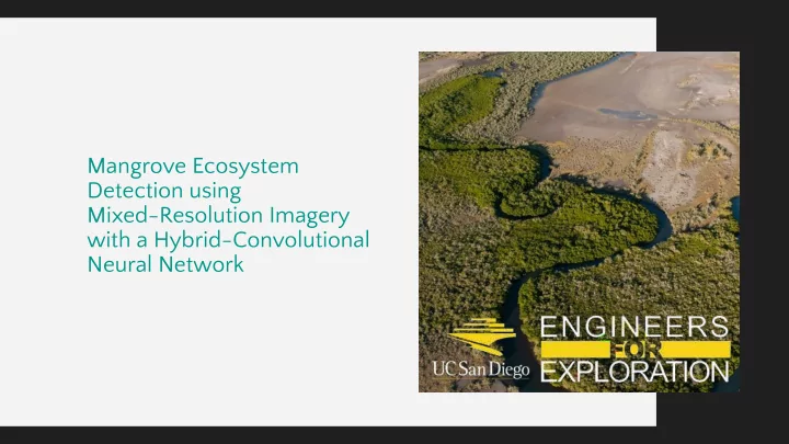

Mangrove Ecosystem Detection using Mixed-Resolution Imagery with a Hybrid-Convolutional Neural Network
What are Mangroves? Mangroves are a type of tree species that live in the intertidal zones of the coasts of tropical areas in over 118 countries.
Why mangroves? Carbon Protection from Fisheries High Value Sequestration Tropical Storms Mangroves offer critical Because of these services, Mangroves can absorb Mangroves act as natural nursing habitats for mangroves are worth up almost twice as much CO2 storm breaks, preventing thousands of fish species to $57,000 per hectare in their roots compared to damage to communities plug-and-play networks. tropical rainforests
Mangrove Extent Mangrove Extent can be used as a direct measurement for their productivity - including their economic value - how can we measure it?
Satellite Imagery We acquired lower resolution Skywatch PlanetScope imagery (3m/pixel) to offer multispectral bands for our ML algorithms
Satellite Imagery Planetscope Imagery is multispectral, and thus important features such as vegetation indices can be extracted for better ML performance
Drone Imagery We fly surveys with our collaborators in Mexico to acquire recent, high resolution Drone imagery of mangroves
Drone Imagery We have over 10TB of imagery with a resolution of 3cm/pixel, much higher than that of our satellite imagery (3m/pixel) Made using Agisoft Metashape
Labels High resolution imagery allows us to make highly detailed labels using QGIS. Over 1500 person hours from volunteers was utilized to make our label dataset.
No Development Needed No Flexibility Use already existing labels Global Mangrove Labels can be Pixel Classifier using SAR satellite Global Mangrove Watch downloaded - with a catch data at a resolution of ~15m^2/pix with the Extremely Randomized Trees Algorithm
Use already existing labels 0.662 Global Mangrove Watch (IOU)
Improving Accuracy Hybrid CNN Architecture We created a novel Hybrid-CNN that uses both satellite pixels and drone tiles to generate mangrove classification maps of higher accuracy. Such a network can use both the high resolution image features of our drone imagery and multispectral bands of satellite images for better extent estimations. IOU: 0.949
Satellite + Drone Features Hybrid CNN 0.949 Better (and more) features lead to much better (IOU) performance!
Hybrid CNN Standard CNN Local 3m resolution labels from high Local 8m resolution labels from 0.949 0.898 resolution drone imagery and high resolution drone imagery medium resolution satellite imagery (IOU) (IOU)
0.949 0.898 0.662 0.730 0.824 (IOU) (IOU) (IOU) (IOU) (IOU) Our Hybrid CNN beats all of our baselines at a resolution of our planetscope imagery
Conclusion Future Steps ● Release our dataset of Mangrove Labels ● Implement Hybrid UNet for higher resolution classifications
More info: Dillon Hicks Engineers for Exploration: http://e4e.ucsd.edu Email: sdhicks@ucsd.edu Linkedin: sdillonhicks Mangrove Monitoring: https://ucsd-e4e.github.io/mangrove/
Recommend
More recommend