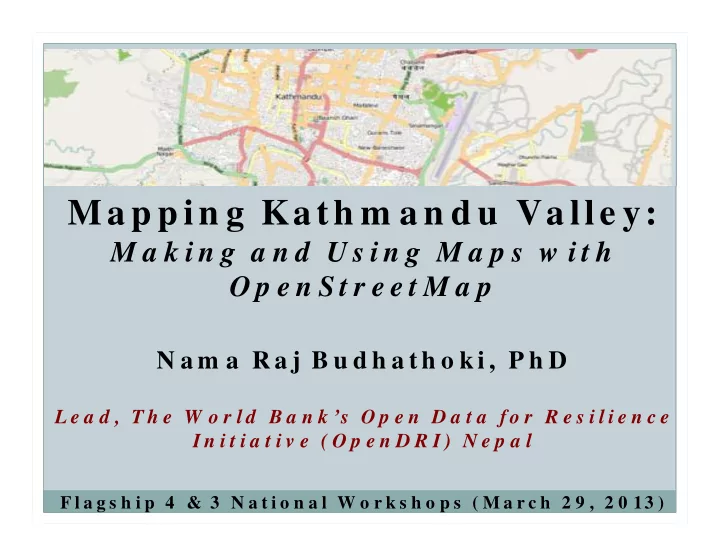

Ma p p in g Ka th m a n d u Va lle y: M a k i n g a n d U s i n g M a p s w i t h O p e n S t r e e t M a p N a m a R a j B u d h a t h o k i , P h D L e a d , T h e W o r l d B a n k ’s O p e n D a t a f o r R e s i l i e n c e I n i t i a t i v e ( O p e n D R I ) N e p a l F l a g s h i p 4 & 3 N a t i o n a l W o r k s h o p s ( M a r c h 2 9 , 2 0 13 )
Challenges � Reduce the cost of map data collection and update � Locate, access, understand and effectively use data � Building and maintenance of technical infrastructure for data sharing � Engaging and gaining citizen trust in what we do
No one knows everything, everyone knows something. -Levy, 1997
OpenStreetMap “Knowledge is power.” - Sir Fra ncis Ba con, 1597 An incomplete list of Social Media timeline—www.idfive.com
www.OpenStreetMap.org
Maharajgung Area: Before a nd After
Teaching Hospital
Horticulture Center, Kirtipur
Underlying Concept � Provides an open collaborative mapping platform to build a free and open map. � A map of the community, by the community, for the community. � A global community of about one million volunteers.
A Growing Com m unity of Mappers
The World Bank’s Open Data for Resilience Initiative (OpenDRI) Nepal
Citizens as sensors (Good child , 20 0 7)
Mapping Party at IOE
At Practical Action Institute of Engineering, Pulchowk
ICIMOD
Kathm andu University Mapathon Institute of Engineering, Pulchowk
Open Data Day Mapathon
Girls into Mapping Institute of Engineering, Pulchowk
Tools Walking paper Smart Phone GPS
Sensitization Presentations Reaching out to people through sensitization presentations 1200 8 7 Num ber of presentations Num ber of direct audience 1000 6 No. of direct audience 800 5 No. of sensitization 600 4 presentations 3 400 2 200 1 0 0 November December January February
Mapping Parties Num ber of Mapping Parties and Mapping Party attendees 700 7 Num ber of Mapping Party attendees Num ber of Mapping Parties 600 6 Total number of 500 5 Mapping Party attendees 400 4 Number of Mapping Parties 300 3 200 2 100 1 0 0 November December January February
FaceBook Groups OSM m em bers in FaceBook groups 700 600 500 400 300 200 100 0 July August September October November December January February March
Daily Mappers Daily OSM Contributors in Nepal 60 50 40 30 20 10 0
Num ber of Nodes No. of nodes (m easures geom etric features m apped in OSM) 400000 350000 300000 250000 200000 150000 100000 50000 0 September October November December January February
Quality of OSM Data “The analysis shows that OSM information is fairly accurate: on average within about 6 m of the position recorded by the OS, and with approximately 80% overlap of motorway objects between the two datasets. In the space of four years, OSM has captured about 29% of the area of England.” (Haklay, 2010)
Synergy with Conventional Mapping
Challenges � Reduce the cost of map data collection and update � Locate, access, understand and effectively use data � Building and maintenance of technical infrastructure for data sharing � Engaging and gaining citizen trust in what we do
Readings http://andreaforte.net/abs.html � Sp ecia l Issue on Op en Colla bora tion a nd W iki Resea rch Budhathoki, N.R. , & Haythornthwaite, C. (In Press). Motivation for § Open Collaboration: Crowd and Community Models and the Case of OpenStreetMap. American Behavioral Scientist. Bertram, B., Bishop, A. & Budhathoki, N.R. (Forthcoming). Youth § Community Inquiry: New media for Community Building and Personal Growth. Budhathoki, N. R., Nedovic-Budic, Z. & Bruce, B. (Chip) (2010). An § Interdisciplinary Frame for Understanding Volunteered Geographic Information. Geomatica, The Journal of Geospatial Information Science, Technology and Practice. 64(1). Budhathoki, N.R. (2010). Participants’ Motivations to Contribute § Geographic Information in an Online Community. PhD Dissertation, University of Illinois at Urbana-Champaign.
For More Inform ation and Learning • Frid a y OSM Clinic • Visit: w w w .osm nepal.org • FB Group : OSM Nepal • Em a il: na m a bud ha thoki@gm a il.com
Recommend
More recommend