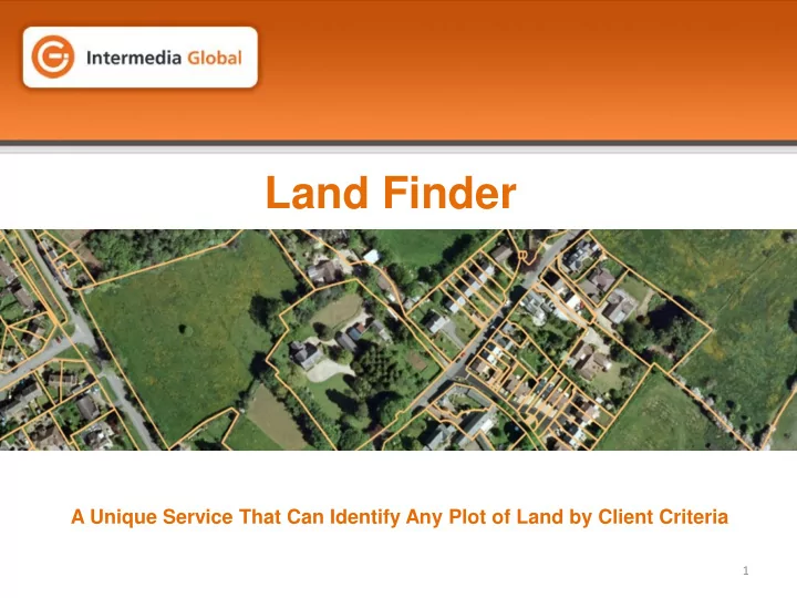
Land Finder A Unique Service That Can Identify Any Plot of Land by - - PowerPoint PPT Presentation

land finder
SMART_READER_LITE
LIVE PREVIEW

Land Finder A Unique Service That Can Identify Any Plot of Land by - - PowerPoint PPT Presentation

Land Finder A Unique Service That Can Identify Any Plot of Land by Client Criteria 1 The Land Finder Team Andy Chesterman Head of Product Development Working in the data industry for 15 years, Andy leads the Consumer Data and Product


slide-1
SLIDE 1

1

Land Finder

A Unique Service That Can Identify Any Plot of Land by Client Criteria

slide-2
SLIDE 2

2

Our Energy Team

Andy Chesterman – Head of Product Development

Working in the data industry for 15 years, Andy leads the Consumer Data and Product Development Division of Intermedia Global. With expert knowledge of the UK data market and consumer lead generation, Andy’s focus has been on the energy and property sector, bringing various exclusive datasets to market. His unique approach has seen him shortlisted for industry awards.

Ian Dee – Geospatial Consultant

Ian Dee, is a geo-solutions professional with 15 years’ experience at some of the industry’s leading businesses, including Airbus Defence and Space, and Bluesky International Ltd. Ian’s focus is on the analysis and exploitation of geospatial information, such as digital mapping and satellite imagery, to create new and innovative products and services and, to deliver proprietary intelligence to clients in all sectors.

The Land Finder Team

slide-3
SLIDE 3

3

Our Energy Team

Land Finder

Concept

  • A unique service that can find any plots of land in accordance with client criteria

through the use of geospatial analysis

  • By identifying off-market land, Land Finder facilitates the avoidance of competitive

auctions, tenders etc.

  • Land Finder reduces field based activities, such as area reconnaissance, and

associated costs

  • Match Land Registry/Ordnance Survey data to opted in databases, enabling

compliant contact with land owners and occupiers

slide-4
SLIDE 4

4

Our Energy Team

Land Finder

Methodology

  • Determine client suitability criteria, and source geospatial data
  • Model client criteria across input data on case-by-case basis
  • Overlay Ordnance Survey and Land Registry data to identify land parcels and

addresses

  • Match against opted-in databases to append full contact details of owner/occupiers
  • Deliver completed project to client as both a database and Google Earth KMZ to

enable visualisation and add geographic context

slide-5
SLIDE 5

5

Our Energy Team

Land Finder

Data Appending/Licensing

  • Our bureau services will supply all available contact information, to include postal

address, telephone number and email address for the named contact

  • Data is made available on a 12-month use license, with quarterly updates removing

any out-of-date records, and adding newly validated records

  • All data supplied is fully opted in to 3rd party marketing and compliant with DMA and

ICO guidelines. Evidence of opt-ins can be supplied on request.

slide-6
SLIDE 6

6

Our Energy Team

Land Finder

  • Land Finder is fully flexible, and clients can choose specific elements or a full end-to-

end service

  • E.g. choose only to receive the locational information on suitable land parcels, or

supply us with existing records to append with contact details

  • Branded web delivery service being finalised, facilitating multi-user logins and usage,

and minimising onsite hosting of data

slide-7
SLIDE 7

7

Our Energy Team

Land Finder

Example Geospatial Analysis

  • Client criteria; within 1km of pre-determined rail stations. 800sqm minimum size (no

maximum), current use non-residential

  • Area of Interest: Specific East London Boroughs
  • Objective: ID land for residential development
slide-8
SLIDE 8

8

Our Energy Team

Land Finder

Example Geospatial Analysis – Station Locations

slide-9
SLIDE 9

9

Our Energy Team

Land Finder

Example Geospatial Analysis – Land Registry Data (125,000 parcels)

slide-10
SLIDE 10

10

Our Energy Team

Land Finder

Example Geospatial Analysis – 1km Areas of Interest

slide-11
SLIDE 11

11

Our Energy Team

Land Finder

Example Geospatial Analysis – Output – proximity/size (2,250 parcels)

slide-12
SLIDE 12

12

Land Finder

For further information, please contact

Andy Chesterman Intermedia Global 01234 831000 andy.chesterman@intermedia-global.com