
SLIDE 1
ITB and its Activities in GPS, INSAR and Satellite Altimetry - - PowerPoint PPT Presentation
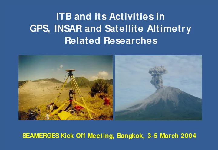
ITB and its Activities in GPS, INSAR and Satellite Altimetry Related Researches SEAMERGES Kick Off Meeting, Bangkok, 3-5 March 2004 ITB (Institute of Technology Bandung) 1920 : TH Bandoeng 1950 : ITB Present : ITB BHMN Dept. of 1.
Geodetics Engineering
Hasanuddin Z. Abidin, 2003
Hasanuddin Z. Abidin, 2001 http://volcanoes.usgs.gov/
GPS Surveys conducted by the Dept. of Geodetic Engineering, I nstitute of Technology Bandung and the Directorate of Volcanology and Geological Hazard Mitigation
Guntur Papandayan Bromo Batur
Ijen Semeru Kelud Galunggung Tangkuban Perahu STUDIED VOLCANOES Guntur Papandayan Bromo Batur
Ijen Semeru Kelud Galunggung
STUDIED VOLCANOES Ciremai
VOLCANO GPS SURVEYS VOLCANO GPS SURVEYS Galunggung June 2001, Aug. 2002, June 2003 Bromo
Batur May 1999, Feb. 2001, June 2002, Aug. 2003 Ijen June 2002 Tangkuban Perahu September 2002 Semeru August 2003 Ciremai Oktober 2003 Kelud May 1999, Feb. 2001, June 2002, Aug. 2003 Papandayan
1999, June 2001, Aug. 2002,
Guntur
1997, Nov. 1997, March 1998,
1999, Feb. 2000, April 2001, Aug.2002, June 2003
Hasanuddin Z. Abidin, 2003
(i.e. settlement of high compressibility soil),
In Indonesia, land subsidence of urban coastal areas
are usually caused by excessive groundwater extraction.
The already observed subsidence areas : Jakarta, Semarang and Bandung The expected subsidence areas Denpasar, Surabaya and Medan
Hasanuddin Z. Abidin, 2003
Spatial planning Infrastructure design and construction Flood control Sea water intrusion control Groundwater extraction regulation Environmental conservation
LAND SUBSI DENCE I NFORMATI ON
Hasanuddin Z. Abidin, 2003
Hasanuddin Z. Abidin, 2002
GPS Stations GPS Reference Station GPS Stations GPS Reference Station GPS Stations GPS Reference Station
BAKO
NORTH
10 km
Survey-1 : 2 4 - 2 6 Dec. 1 9 9 7 Survey-2 : 2 9 - 3 0 June 1 9 9 9 Survey-3 : 3 1 May - 3 June 2 0 0 0 Survey-4 : 1 4 - 1 9 June 2 0 0 1 Survey-5 : 2 6 - 3 1 Oct. 2 0 0 1 Survey-6 : 0 2 - 0 7 July 2 0 0 2 Survey-7 : 2 1 - 2 6 Dec. 2 0 0 2
KAPUK TIJ ANCOL MARUNDA CINERE KUNINGAN TOMANG KEBAYORAN RAWAMANGUN MERUYA KWITANG DADAP KALIDERES DAAN MOGOT JATINEGARA TIMUR CONDET KAPUK PANTAI MUTIARA ANCOL RUKINDO MARUNDA CIBUBUR CINERE KUNINGAN TOMANG RAWAMANGUN MERUYA KWITANG KAMAL MUARA DAAN MOGOT CONDET PONDOK RANGGON TAMAN LANGSAT CINERE BARU CENGKARENG BARAT
CILINCING PULOGADUNG
Saguling Dam MJL1 DHYK BJNS GDBG PSCA RCK2 UJBR RCK1 BNJR CMHI MJL2 KPO2 KPO1 BRGA CPRY BM9L BM13L BM18L BM19L BM30L BM30X BANDUNG BASIN 10 km
Saguling Dam
MJL1 DHYK BJNS GDBG PSCA RCK2 UJBR RCK1 BNJR CMHI MJL2 KPO2 KPO1 BRGA CPRY BM9L BM13L BM18L BM19L BM30L BM30X
BANDUNG BASIN
10 km
GPS Points GPS Reference Point NORTH
Hasanuddin Z. Abidin, 2003
GPS Surveys Survey Period Observation Points Survey-1 21-24 Feb. 2000 PSCA,BNJR,BJNS,CMHI,DYHK,MJL1,RCK1,RCK2,UJBR Survey-2 21-30 Nov. 2001 PSCA,BRGA,BNJR,BJNS,CMHI,CPRY,DYHK,GDBG, KPO1,KPO2,MJL1,MJL2,RCK1,RCK2,UJBR Survey-3 11-14 July 2002 PSCA,BRGA,BNJR,BJNS,CMHI,CPRY,DYHK,GDBG, KPO1,KPO2,MJL1,MJL2,RCK1,RCK2,UJBR,BM9L, BM13L,BM18L,BM19L,B30X,B30R Survey-4 1-3 June 2003 Same as on Survey-3, except BRGA
Using 7 dual-frequency geodetic-type receivers; Session lengths of 10-12 hours
Hasanuddin Z. Abidin, 2003
continuously affecting Indonesia, especially in the rainy season.
but usually also cause deaths.
very crucial and should be done properly.
terrestrial techniques, using the systems such as extensometer, EDM (Electronic Distance Measurement), and leveling.
Hasanuddin Z. Abidin, 2003
LANDSLIDE PRONE AREA Sketch is not to scale GPS1 GPS2 GPS3 GPS4 GPS5 GPS10 GPS6 GPS7 GPS8 GPS9 GPS11 GPS12 GPS13 GPS14 M010 POS1 REF1 Land Motion to PUNCAK to CIPANAS
NORTH
Distance : REF2 – GPS2 : 570 m GPS12 – M010 : 280 m LANDSLIDE PRONE AREA Sketch is not to scale GPS1 GPS2 GPS3 GPS4 GPS5 GPS10 GPS6 GPS7 GPS8 GPS9 GPS11 GPS12 GPS13 GPS14 M010 POS1 REF1 Land Motion to PUNCAK to CIPANAS
NORTH
Distance : REF2 – GPS2 : 570 m GPS12 – M010 : 280 m
Hasanuddin Z. Abidin, 2003
MG06 MG05 MG07 MG08 MG01 MG02 MG04 REFM 500 m NORTH Land Motion MG03 To PUNCAK To BOGOR MG06 MG05 MG07 MG08 MG01 MG02 MG04 REFM 500 m NORTH Land Motion MG03 To PUNCAK To BOGOR
G .Papandayan BANDUNG
Studied Area
JERS
AR data, processed using VEXCEL 3D S AR Processor
Leveling (1982-1997) and InSAR results.
Institute of Technology Bandung (ITB)
Geoid determination
National Survey and Mapping Agency (Bakosurtanal)
S ea S urface Topography determination
Oceanography and meteorology Geodesy and geophysics
Climate prediction
th
Weather forecasting