
SLIDE 1
Investigating two super- resolution methods for downscaling precipitation: ESRGAN and CAR
Campbell D. Watson1 Tim Lynar2 Chulin Wang1,3 Komminist Weldemariam4
1: IBM Research USA, Yorktown Heights, New York 2: University of NSW Canberra | Australian Defense Force Academy, Canberra, Australia 3: Northwestern University 4: IBM Research Africa, Kenya
cwatson@us.ibm.com
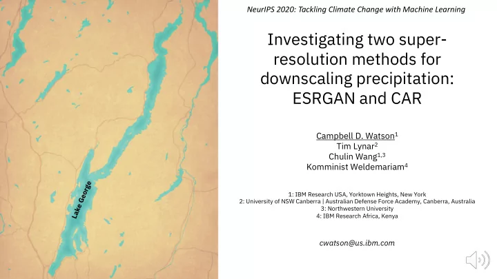
Lake George