
SLIDE 1
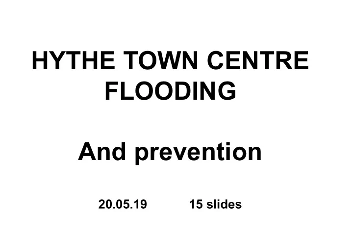
HYTHE TOWN CENTRE FLOODING And prevention 20.05.19 15 slides - - PowerPoint PPT Presentation
HYTHE TOWN CENTRE FLOODING And prevention 20.05.19 15 slides 3.41 3.26 The Promenade 2.37 2.77 2.67 3.03 2.72 2.72 Post Office No.16 2.55 Philpotts 3.16 Prospect Place 2.94 2.40 2.65 No. 17 2.94 No.21A 2.68 Ferrymans
HYTHE TOWN CENTRE LEVEL SURVEY
08.04.14 Drawn by K F Endean
Levels related to Ordnance Datum (2.74m above Chart Datum). Promenade sea wall levels taken from NFDC Drg. 11720/03. All other levels by K. Endean. Levels on selected properties are threshold levels, taken as indicative of ground floor levels.
No.16 3.16 Guy’s Cottage 2.68 Ferryman’s Cottage 2.74 No.21A 2.68 BM 4.30 2.94 2.67 3.26 3.41 2.77 3.03 2.40 2.94 2.88 2.52 2.50 2.33 2.73 2.31 2.37 2.51 2.18 2.33 2.41 2.49 2.32 2.37 2.24 2.32 2.65 No. 17 Hobbits 2.64 2.55 Philpotts 2.72 Post Office 2.89 Waitrose Harveys 2.67 Bells 2.52 2.52 Lloyds 2.53 HSBC 2.62 Optique 2.89 Solicitorss Oakhaven 2.63 Natwest 2.49 Card shop 2.53 No.8 2.52 Nos 6,7 2.59 2.62 Collins 2.78 Dry Cleaners Inspire 2.60 2.72High St. The Marsh Prospect Place Pylewell Rd The Promenade
TECHNICAL BACKGROUND
Causes of flooding Principal problem: surge tides, created by weather-driven sea level surges coinciding with normal spring tides. Secondary problem: flooding via storm water drains if the non-return flaps jam open or the pumps fail (Southern Water responsibility). Levels of tidal floods and flood defences (all related to Ordnance Datum, which is 2.74 m above Chart Datum) At Prospect Place the highest part of the grassed area is at 3.03m AOD but the low point is at approx. 2.7m AOD. In recent decades (first accurate record in 1924) several surge tides have reached approx. 2.85m AOD. In 2008 and 2014 flooding of properties was prevented by sandbag dams at the low points on the grassed area. Evidence indicates that we should prepare for a surge tide level of 3.05m AOD. (In 2008 and 2014 we only avoided a flood to that level because the surge peaked before the time of high tide. If the 1924 surge tide were repeated today it would reach 3.05m because sea level has risen by approx. 0.2m since 1924.) A sensible defence level would therefore be 3.1m AOD. A wave height allowance is not necessary because the highest surges are invariably caused by deep depressions tracking across
Risks At present, a surge tide to a level of 3.05m AOD would be likely to flood approximately 80 properties. (A selection of threshold levels is shown on the slides, although many others have been omitted for clarity). The future The Environment Agency has Hythe on its long-term programme for flood defence work but that programme has been slipping. Produced by Ken Endean (For any queries or clarifications, please call 023 8084 4804)