
SLIDE 1
HELCOM/OSPAR - ICES data flows CORESET II /BALSAM WP2 meeting, - - PowerPoint PPT Presentation
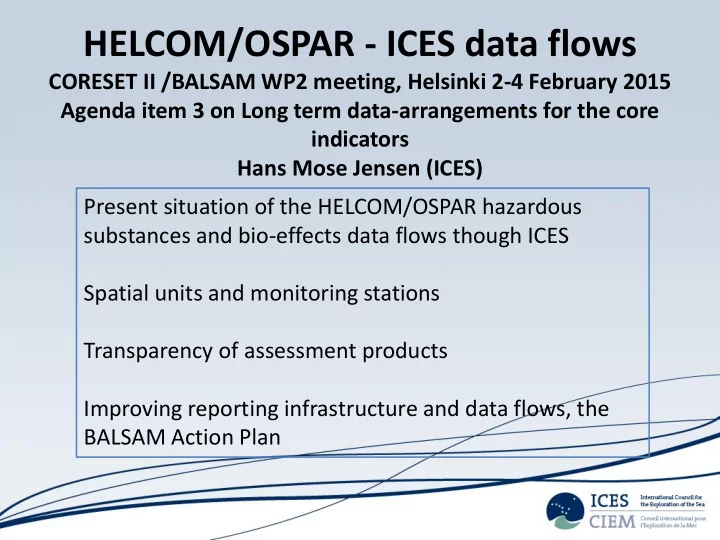
HELCOM/OSPAR - ICES data flows CORESET II /BALSAM WP2 meeting, Helsinki 2-4 February 2015 Agenda item 3 on Long term data-arrangements for the core indicators Hans Mose Jensen (ICES) Present situation of the HELCOM/OSPAR hazardous substances
OSPAR guidelines and manuals)
format
submission in the ICES accession system (DAD)
database (DOME)
systems (OBIS, SDN, EMODNET, EIONET)
(CSV, ODV, web-service, shp, kml)
assessment purposes (assessment input)
working groups (HELCOM CORESET indicators, OSPARMIME)
and online assessment application (HELCOM CORESET indicators, OSPARMIME)
assessment data (OSPAR, HELCOM)
Parameter group summary /comparison
Station summary /comparison
Country RLABO MSFD_region OSPAR_region OSPAR_subregion OSPAR_shore StationName SD_StationName MYEAR DATE Latitude Longitude PURPM FINFL Species SpeciesType SEXCO NOINP PARAM MATRX BASIS MUNIT Value Value_std DETLI DETLI_std LMQNT LMQNT_std UNCRT UNCRT_std METCU QFLAG VFLAG ALABO SMTYP SUBNO tblAnalysisID tblParamID tblBioID tblSampleID
Station name “Monitoring type (HELCOM, OSPAR, WFD, MSFD, national)” Geographic position “Type of data” Governance “Purpose” Date from “HELCOM fields” Date until …
Coming
inventory of standards and tools available, e.g. unit conversion tables (ICES)
regional/national (ICES/CP)
when adding to database (ICES)
incorporated to HELCOM database (ICES/EMODnet?)
provided as XML outputs to be imported to HELCOM database (ICES/CP)
improvements (CORESET II)
assessment products (with possible duplicate removal)(ICES)
submission/resubmission of COMBINE datasets (ICES/HELCOM)
indicator requirements (CORESET II)
geoportal (ICES/HELCOM secretariat)