
SLIDE 1
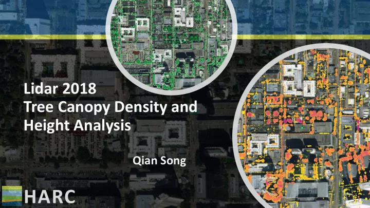
Lidar 2018 Tree Canopy Density and Height Analysis
Qian Song
HARC LAS Point Classification 1 Processed, but unclassified 2 - - PowerPoint PPT Presentation
Lidar 2018 Tree Canopy Density and Height Analysis Qian Song HARC LAS Point Classification 1 Processed, but unclassified 2 Bare-earth Ground 3 Low Vegetation (0.01m to 1.00m) 4 Medium Vegetation (1.01m to 3.00m) 5 High Vegetation
Qian Song
Data: 2014 TCEQ
1 Processed, but unclassified 2 Bare-earth Ground 3 Low Vegetation (0.01m to 1.00m) 4 Medium Vegetation (1.01m to 3.00m) 6 Building 7 Low Point (noise) 9 Water 10 Ignored Ground 14 Culverts 17 Bridge Decks 5 High Vegetation (greater than 3.01m)
Image: https://environment.arlingtonva.us
Density = The Number of Above Ground Points The Total Number of Points Tree Canopy Density = The Number of High Vegetation Points The Number of High Vegetation Points + The Ground Points
Las Dataset Tree Canopy Density Raster Total Points Raster Above Ground Points Raster Las Point Statistics As Raster (Point Count) Divide Tips
Las Dataset Layer (Total) Las Dataset Layer (Above Ground)
Digital Surface Model(DSM): the first return surface First return of the High Vegetation Class Digital Elevation Model(DEM): the bare earth surface Canopy Height = DSM - DEM
Las Dataset Las Dataset to Raster DSM DEM Minus Tree Height Las Dataset Layer (Above Ground & First Return)
– Flood Inundation Depth and Area
an independent research hub helping people thrive and nature flourish.
qsong@harcresearch.org 281-364-6085